We’ve spent all year staring at our backyard except when we’ve gone out in the bus to some state parks. Staying at home is okay, and it’s the safe thing to do, but it got lethargic. Not doing anything was draining. The less we did, the less motivated I was to do anything. I need a project.
I’m thinking about doing another Big Year. In 2019 we did a Big Year by going everywhere we wanted to go and paying attention to what birds were around us while we did that. We netted 500 species. I’m thinking if we flipped that strategy and went places specifically to see birds, and incidentally enjoyed ourselves, we could do better than 500 species. Maybe we could see 600.
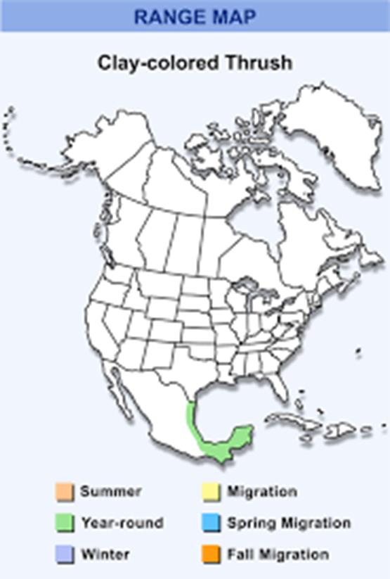
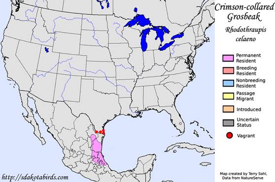
Two problems. First, Covid isn’t gone yet, a Big Year would require flying and staying in hotels, and we’re not ready to fly and stay in hotels again yet. Second, given that every different kind of bird has its own range map of where it is when, that’s a big logistical challenge to figure out a reasonable travel schedule that puts us where we need to be when.
Two solutions. First, don’t do the Big Year until 2022. Problem solved. We’ll be free to travel by then. Second, split the Big Year challenge into two parts. Figure out which birds we can get in Texas before we start flying all over the country. Do a Big Texas Year in 2021 to perfect our approach.
There are a lot of species that have been seen in the US at one time or another. The count is somewhere in the 900s. A lot of those are incidental odd accidents though. As far as birds we can actually expect to find, the count is more like 800 birds. If our target is to find 600 species in one year, that seems doable. (The record Big Year for North American birds is 750 or so. I think that was before they added Hawaii to the ABA area.)
If our target is 600 birds, we should be able to hit that number without life-altering moments-notice trips (and financial ruin) to chase down every rare exotic bird sighting. Well, given a target of 600 birds, how many of those might we expect to find in Texas? I know 500 is doable, because our friend Jon has done it. I think if we set our sights a little lower, like 400 for Texas, we could knock 400 birds off our count, without leaving the safety and comfort of our motorhome. If we get 400 species in Texas, that only leaves 200 birds outside of Texas that we need. That’s not such a daunting logistical task for the airplane and hotel part of the effort in 2022.
So there we have it. We do a Texas Year in 2021, starting in a little over two weeks, with a target of 400, as practice for a Big Year the next year. The planning has begun. I’m mapping out which birds only go as far south as Northern Texas in the winter. We’ll have to go up around Lubbock and Amarillo to get those. And which birds only go as far north as Southern Texas in the summer. We’ll have to be in South Texas for those. For the migrants, we’ll have to be along the coast in April to get all we can on their way north, then again in September to pick up any we missed in April as they work their way back south. West Texas will provide the desert birds that only go that far east, and East Texas, the eastern birds that only go that far west. We’ll fill in with the year-round birds whenever we have the chance.
That’s our plan.