Sunday

Port Alberni.  We haven’t been there since twenty-five years or so ago when we went sea kayaking with Stuart, Warren, and friends.  Working with Stuart, one day he asked if Judy and I wanted to go on a week-long wilderness sea kayaking trip.  My answer was “What’s a sea kayak?”  (Now I know a sea kayak is a kayak you’re not supposed to roll over in like a river kayak.)  Then Stuart explained how the trip was going to go in the cold rainy pacific northwest.  That didn’t sound very good to me, so I told him I’d ask Judy, knowing she’d hate the idea of cold, wet, and rainy.

I went home that night and asked Judy if she wanted to go on a sea kayaking trip with Stuart, Warren and friends.  She asked “What’s a sea kayak?”  I described the trip as Stuart had and she said that sounded wonderful!  It turned out the trip was exactly as described, cold, wet, and rainy… and we had a fantastic time!  What a glorious place to be, in the Broken Island Group on the west coast of Vancouver Island.  We got to the west coast of Vancouver Island by taking the ferry from the mainland to Nanaimo, driving up the east coast of Vancouver Island, driving over the ridge of mountains to Port Alberni, getting on the Bamfield passenger ferry, the Lady Rose, for a 50 mile trip out a very long inlet to get dropped off on a barge that had all our kayaks on it, after which we paddled across a 3 mile channel and set up camp on an island.  Except for foul weather days, we paddled every day and set up on a different island every night.  Tides, tidepools, wildlife, forests.  Everything it could be.  We paddled back to the drop-off barge on the assigned day a week later and made the ride back to Port Alberni.  An awesome life-experience.  (In fact, we enjoyed it so much we returned a few years later to leave from Port Hardy for another wilderness sea kayaking experience with a different group.)

So today, we returned to the scene of the start of the adventure, Port Alberni.  It’s still charming.

Port Alberni sea kayaking map

Picture_x0020_9157420260472.2824.4655184877232599486@FeluriaD1.CC8ACE60” style=”width:5.7916in;height:3.8416in” width=”556″/>

Picture_x0020_8157420260472.2824.7625307506800867069@FeluriaD1.CC8ACE60” style=”width:5.7916in;height:3.8416in” width=”556″/>

Picture_x0020_7157420260473.2824.14487718280325716847@FeluriaD1.CC8ACE60” style=”width:5.7916in;height:3.8416in” width=”556″/>

Picture_x0020_6157420260473.2824.15832772056068936234@FeluriaD1.CC8ACE60” style=”width:5.7916in;height:3.8416in” width=”556″/>

Picture_x0020_5157420260473.2824.11932153979611264326@FeluriaD1.CC8ACE60” style=”width:5.7916in;height:3.8416in” width=”556″/>

Picture_x0020_4157420260473.2824.11655278859360034922@FeluriaD1.CC8ACE60” style=”width:5.7916in;height:3.8416in” width=”556″/>

Picture_x0020_3157420260473.2824.10187687241421017904@FeluriaD1.CC8ACE60” style=”width:6.2416in;height:3.5666in” width=”599″/>

Here’s a cool idea.

Picture_x0020_2157420260473.2824.6277698317633330140@FeluriaD1.CC8ACE60” style=”width:5.7916in;height:3.8416in” width=”556″/>

This boat…  It’s a bed and breakfast moored right at the dock.

Meanwhile, Henry has determined…

Picture_x0020_1157420260474.2824.4989580213644291605@FeluriaD1.CC8ACE60” style=”width:5.7916in;height:3.8416in” width=”556″/>

Nature is edible!

Saturday

A goofy young moose on the trail all by himself.

Except we know mom is somewhere close.  Do not want to come between a youngster and his mom.

A look around finds her right at the edge of the forest.

They reunite and wander off.  It’s all good.

Chestnut-backed chickadee.

Friday

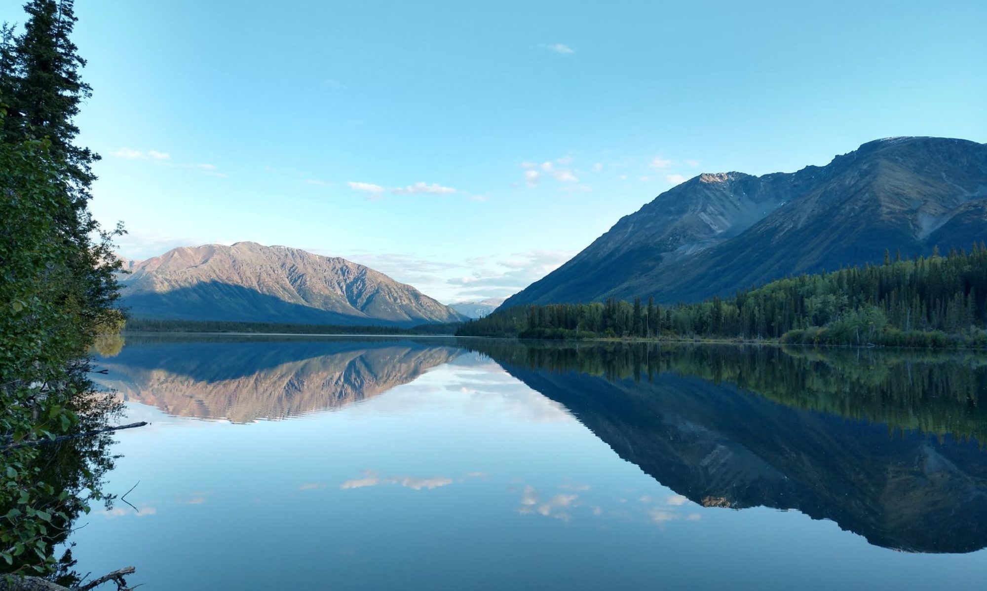
Last night’s view in today’s light.

This place has to be right up there for awesome RV Parks we’ve ever stayed in.  It’s wonderful.  We’ve already extended.

Thursday

We turned right.  We just haven’t had enough of Canada yet, so we drove through Vancouver to Horseshoe Bay, got on the BC ferry boat for a two-hour ride, got off at Nanaimo on Vancouver Island, and drove north to Courtenay along the east coast of the island.  A long day of travel for not that many kilometers.

Seal Bay RV Park; it’s a pretty good looking park.  We arrived late and got set up just in time for this evening light.

The Vancouver Island part of the trip map

2,624 miles to Sandpipers.

Tuesday

Most times black bears don’t seem very big.  This one today however, was different.  On the afternoon walk up a hill, my first impression of this animal was that it was a black angus in the next pasture.

He was big; different from the little females we’ve been seeing; just walking along parallel to my course.

He walked across the field and disappeared into this small swale of brush.

A person could walk right up to a patch of brush like that without even knowing there was a bear in it.

He didn’t take great interest in me, but he did take notice.

Walked yesterday at a park full of cottonwood trees in Prince George.  Saw this interesting, and a little creepy, carving.

And a black fox.

Drove south on the Cariboo Highway to Lac La Hache, halfway to Vancouver.

Tripping south map continued

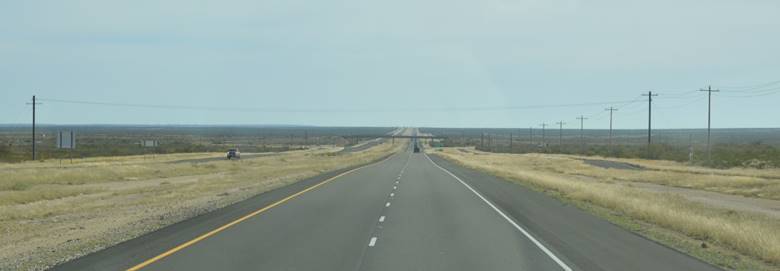
Our windshield.

Picture_x0020_1157420180973.7492.18263151540185645904@FeluriaD1.8DE0EFA0” style=”width:5.3in;height:3.525in” width=”509″/>

2,703 miles to Sandpipers.