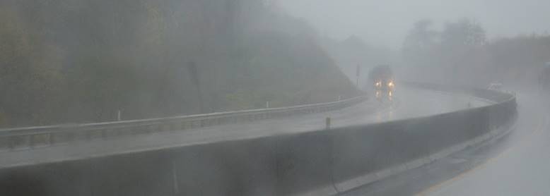
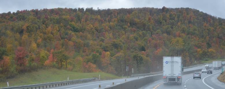
But even with the rain.
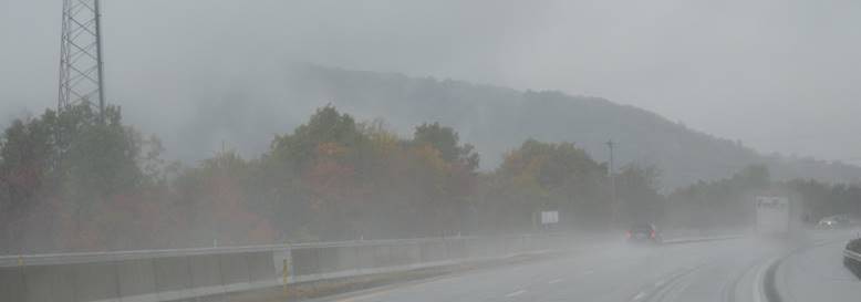
The Pennsylvania fall colors are wonderful.
Leaving New York part of the trip map
But even with the rain.
The Pennsylvania fall colors are wonderful.
Leaving New York part of the trip map
The one I kept going on about while we were in Alaska that is a one-way train tunnel, periodically shared with cars, trucks, and buses. I took a couple videos to show what it was like on our first trip through.
Whittier Tunnel, part 1 https://youtu.be/YR5bC6VYDeU
Whittier Tunnel, part 2 https://youtu.be/gcjwGFdabzM
New York. New Jersey. Now we’re in Pennsylvania again.
Leaving New York part of the trip map
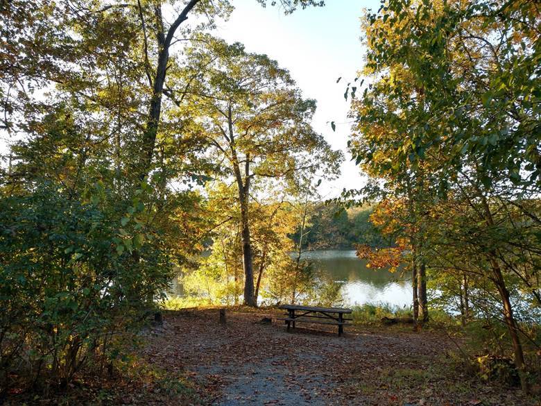
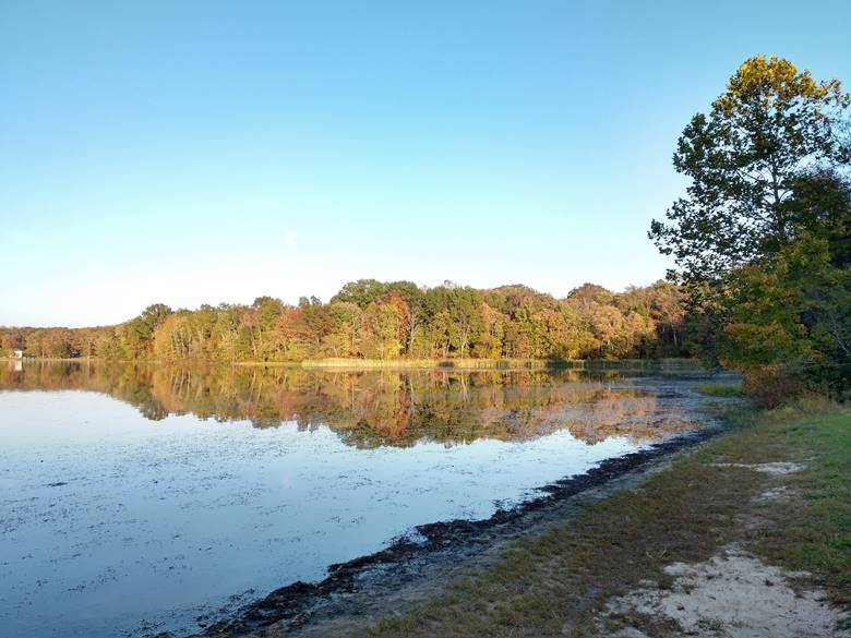
Here are the highlights of my New York City excursion.
I’ve got a great idea!
We don’t go to busy crowded places on purpose. This is the closest we’ll ever get to New York City, a hundred miles away. That’s close enough for a day trip and there are seven counties there we’ll never otherwise see. Monday is Columbus Day, and that’s a big deal on the East Coast so it’s a long holiday weekend. Our campground is jammed full with everyone getting out of The City for the final camping weekend of the season. I’ll drive in to the City on Saturday and have a look around. They’ll never even know I was there. Brilliant!
So off I went Saturday morning, driving down the scenic Taconic Parkway in the predawn darkness. So far so good. No traffic. It was dawn by the time I got to the Bronx and stopped for fuel. Pigeons and gulls. People just waking up. An easy drive to Jamaica Bay Wildlife Refuge in Queens. Had a nice long walk around the West Pond. Lots of birds. From there to Jones Beach State Park in Nassau County. No problem. Not crowded at all. Great Black-backed Gulls there. That was special. Farther East to Robert Moses State Park and Fire Island in Suffolk County. Another walk. Thought about driving all the way to Montauk State Park at the east end of Long Island, but that’s another hundred miles still. Long Island is really long. Not enough time for that in one day.
Several counties to go and now it’s afternoon. Time is running out. Headed back to the west. More birds in Kings County, the south part of Queens. It’s getting crowded and the streets are slower. Across the Verrazzano Bridge to Staten Island. Uh oh. This is a lot of traffic. Now everyone is out driving around wrecking cars into each other creating traffic jams. No problem. I’ve got google maps routing me always on the fastest route. Even with that though, traffic still sucks. Made it to Staten Island but now it’s getting late. Saw some starlings at Clove Lakes Park. Didn’t even get out of the car. One county to go. Manhattan here I come. Oops. Now I’m in New Jersey. Didn’t mean to do that. Put in Central Park as my next destination. Followed the directions as best I could but with construction, lane closures, and confusing directions from the navigator, couldn’t find my way back into New York. I even paid my toll for the Holland Tunnel but missed a turn, got sent back the other direction, and was still in New Jersey. Kept following navigator directions and ended up farther north and paid my toll again to cross the Hudson in the Lincoln Tunnel. That was slow. Emerged right in Midtown at five o’clock on a Saturday evening. All those people that I thought would be gone; they’re in Midtown having a fine time walking through gridlocked traffic that is not going anywhere. Saw a pigeon under a bridge. Recorded it. I was at least going to drive by Central Park. It was only a few blocks away but was going to take another half hour to get to. I’ve had enough. Changed the destination to Interlake RV Park in Rhinebeck. Creeped and crawled my way to 42nd Street. Hung an agonizingly slow left through the throngs and gridlock. Now I’m driving like a New Yorker (or New Jerseyer?) and just pushing my way through (except I never honked my horn). A few more traffic light cycles and I got a right turn on 12th Avenue for my escape to the north. Out of Manhattan, past Harlem, Washington Heights, Hudson Heights, and Fort George. Through Kingsbridge and onto the Saw Mill River Parkway. Past Yonkers and Hastings-on-Hudson. Stopped for a taco near White Plains. Drove back home by way of the scenic Taconic Parkway, again in the dark.
I went to Long Island and The City on a Saturday when I thought no-one else would be there. Did it all in one day. Ended up in Mid-town Manhattan on a Saturday evening. Brilliant?