Monday July, 16,

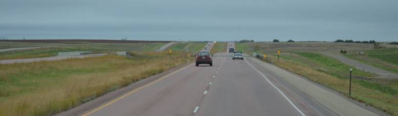
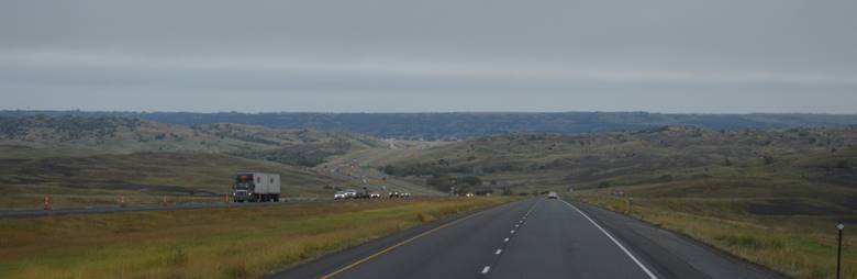
Cruising the Sterling Highway south to Anchor Point.

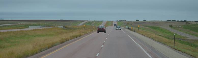
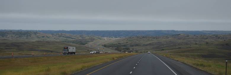
We’re driving two-lane highway, but Alaska has done a great job with passing lanes and pullouts.  No trouble with traffic.  And the fireweed.  All along the highways there are fields of purple fireweed in bloom; sometimes entire mountainsides.

It is truly spectacular.

We’re still covering new ground.  Driving these highways is like discovering Colorado all those years ago.  Every new highway a new adventure, a new wonder.

Tonight we have a room with a view;

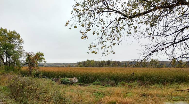
…the ocean from a distance, on the other side of a meandering river meadow.

Kyllonen’s RV Park

The Great 2019 Alaska Trip map

The Alaska portion of the trip

At Anchor Point, all these miles later, we just ran into our next-door neighbors from Fairbanks!

4,541 Miles to Sandpipers.

Sunday July, 16,

A drive down the Seward Highway; cool and misty just like it’s supposed to be in Alaska.

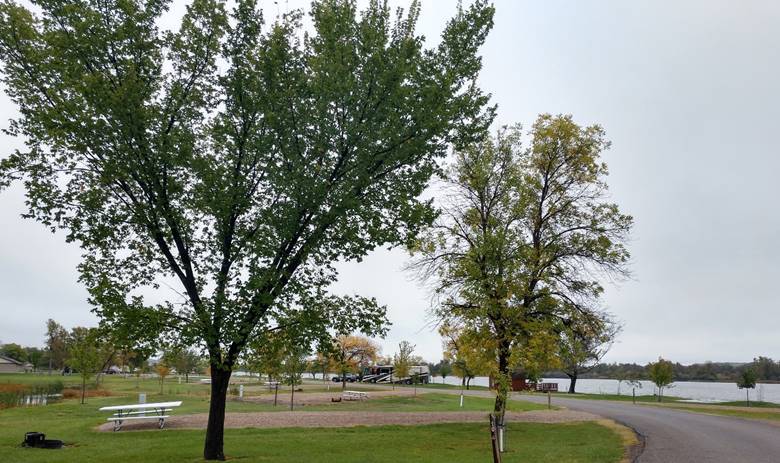
We finished up tucked into a corner of a nice little RV park in Soldotna.

Saw a sign for Kalifornsky Beach.  Who could get this close and not go to Kalifornsky Beach?

Not us.  There wasn’t much to see there though.  It turns out Kalifornsky Beach is just a residential area with lots of driveways to peoples houses, but nothing to see from the road.

There is a lot of salmon fishing going on back at the Kenai River.

A lot of catching too.

We’ve been looking for moose.  We’ve seen a few, but we’ve seen a lot more “watch for moose” signs than we’ve seen moose.  Today, things are looking up though.  We ran into this sign.

The sign seemed strangely familiar, almost like I’d seen it before.

No matter.  Off we went in search of the angry moose, and wouldn’t you know, we couldn’t find her anywhere!  We’ve seen a few moose this trip, but not enough yet.

The Great 2019 Alaska Trip map

The Alaska portion of the trip

4,482 miles to Sandpipers.

Saturday July, 15,

Our big adventure.  We put on our winter hiking boots, packed our arctic gear, and boarded a plane to Utqiagvik, Alaska, deep inside the Arctic Circle, the northernmost city in the U.S.

Stowaway alert.

Even though lying on the luggage, Henry didn’t get to go.  We got a dog-sitter for him and left for a long day-trip.  We got up and left at 5am and didn’t get home until 10pm.  Henry got walked and petted three times during the day, and fed dinner when it was time.  Amie the dog-walker loved him.

Our flight first went to Deadhorse at Prudhoe Bay, by way of Denali in the clouds,

…then on to Barrow.

This is our ride.

And the arrival gate.

A look back from the front of the terminal.

Our rental car office.  That’s our little white car.

We went to the most highly recommended restaurant in town, Sam and Lee’s.  Chinese and American food.  For lunch, we each went American.

I had the $20 club sandwich.

Together, lunch was $50.  Someone asked me later if the sandwich was worth it.  Well, we were in Barrow and we were hungry, so yeah; it was worth it.  It’s expensive here.  Everything they have here has to be flown in or barged in.  Gasoline was 5.99 a gallon.  We filled the car back up before we turned it in.  With the limited driving, it didn’t take but a few dollars to replace what we used.  Farther south in Alaska, we’ve paid $90 to fill up the Jeep.  Groceries are high.

How can people make enough to even buy food?  Wages for jobs are probably high, but it didn’t look like there were all that many jobs to go around.

The town is not geared to tourism.  There is no cute little downtown with shops.  We ate lunch.  We went to the grocery store.

We went to the gas station.  We met up with two other people who were also visiting.  Other than that, everyone else was local; just going about their business; taking no special notice of us.  They were nice.  They were friendly when we spoke with them, but they were busy going from place to place, doing their own errands, living their own lives, on four-wheelers as much as any other mode of transportation.  The town itself was buzzing with activity (even though it doesn’t look like it in the next photo).

There is no pavement.  All summer long, water trucks drive around town wetting the roads to keep down the dust. src=157617612354.7740.16328229406212507309@Feluria0FCF0” style=”width:5.7916in;height:3.8416in” width=”556″/>

There is a football field.

The high school kids used to play straight on the gravel, but a woman from Florida sponsored a fundraising challenge a couple years ago and gathered enough money to sponsor this stadium.  The football team is thriving.

Early in the day it was still a little chilly out on the tundra.

The wind was up.  That was a good thing though because it kept down the bugs.

We drove to the Arctic Ocean.  (It took about a minute from the airport.)

We did our version of the polar plunge; we each dipped our hands in the Arctic Ocean.

There is a tolerance in town for junk.

Perhaps when it is that expensive to get everything there, there is no mood to pay that much to get it gone again when it’s done.

This lonely snow machine is likely in its final resting place as well.

Outside of town there are still signs of oil and gas, tanks and towers, civilization, but other than that, it’s tundra.

And a few remaining snowdrifts in July.

Time to leave, just as the fog was rolling in.

For the last several weeks we’ve been practicing pronouncing Utqiavik, so we could be respectful of the local preference.  While we were here talking to people though, whenever the name came up we were told “Just say Barrow”.  Funny.  Susan at the car rental even said “I was born in Barrow.  My birth certificate says Barrow.  It will always be Barrow to me.”  Okay.

Barrow is so isolated it kind of feels like we just visited a different planet.  There is no easy way to get to any neighboring villages, let alone the southern half of Alaska or the lower 48.  Not in the summer anyway.  It’s probably a lot easier to get around locally in the snow and ice in winter on snow machines.  Rivers turn into roads.  Barrow.  It’s a separate kind of place.