Friday June, 22,

From Whitehorse to Haines Junction, there was more traffic than we’ve been seeing; meaning sometimes we could see more than one car at a time; sometimes several all at once!  The traffic went away and the road got rougher when we turned north from Haines Junction; frost heaves and patches where the asphalt erupted.  For the first time we ended up driving slower than the speed limit of 90kph.  Spent a fair amount of time riding the road waves at 45mph.

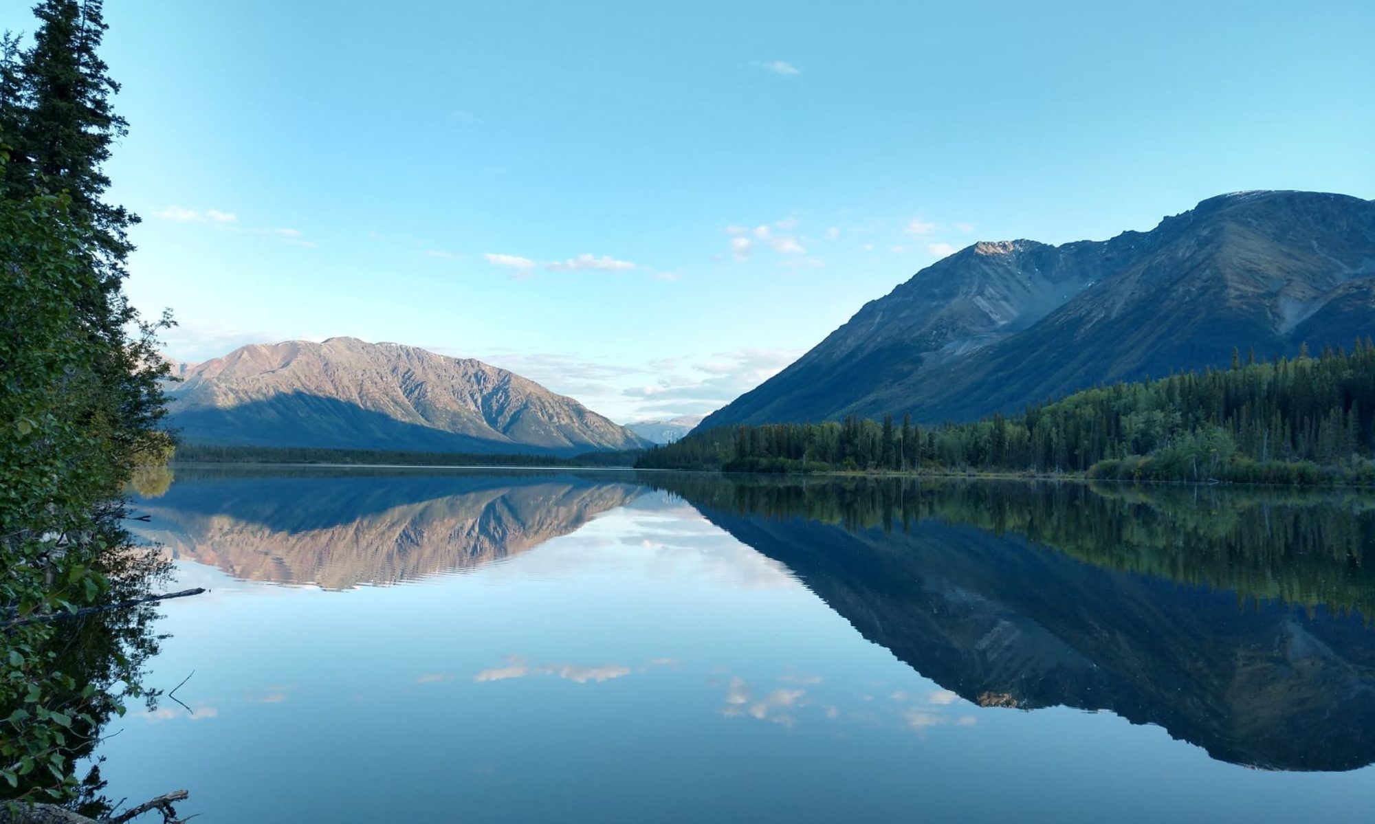
The Alaska Highway takes the smoothest route, so we’re not always in the mountains, and usually they’re just the rolling variety.  The scenery started to get more dramatic as we approached Haines Junction.

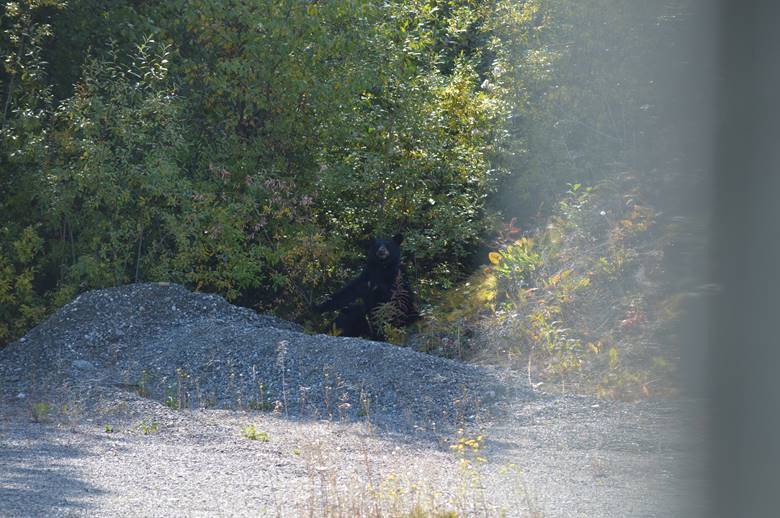
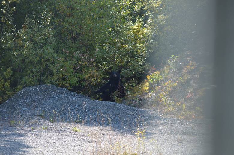
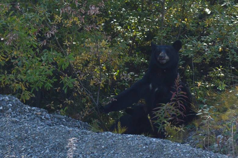
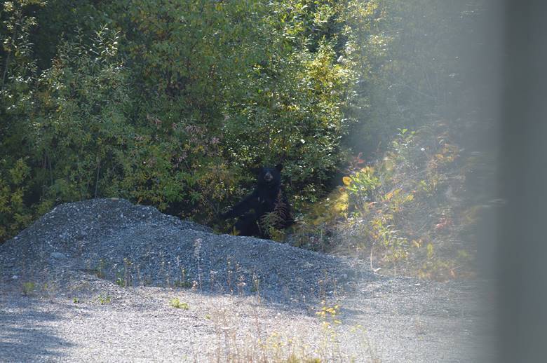
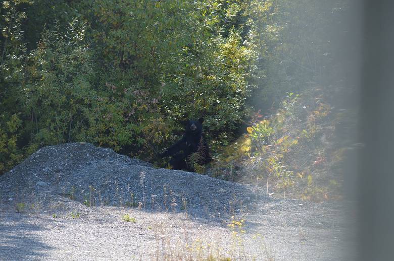
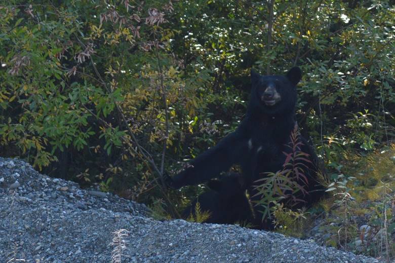
We got right up next to the mountains for a while.  Then we got right up next to a grizzly on the roadside.

We stayed inside and shot him through the windshield.

Lots of bears, but our first grizzly of the trip.

Moving on,

We found another night in the forest.

…this one compliments of the Yukon Government (and 12 dollars Canadian.)  I’d take a cool nighttime picture of the campfire and coals, but it never gets dark while we’re still awake!

No update on the trip map. The Great 2019 Alaska Trip map Don’t know what time the sun sets, when last light is, or how many miles to Fairbanks.  Off the grid.

Tuesday June, 19,

It’s a cruise ship port.  People fill the town and tours all day long.  There are tour buses, shuttles, trains, ferries, tour boats, float planes, helicopters, and pedestrians.

By about six pm all the cruise passengers are back aboard their boats, and by eight, the boats are backing out, turning around, and leaving.  The port and town will be empty until the next ships arrive in the morning.

Everything happens at our doorstep.  We watch the process unfold,

… and admire the scenery.

Wednesday June, 19,

Hey everybody.  Let’s ditch Steve and Judy!

We got up this morning at 8 and looked out the window.  Every other RV that was camped here with us.

They’re all gone!

That was weird.

There is a tide here.

About 17 feet today.

And bald eagles.

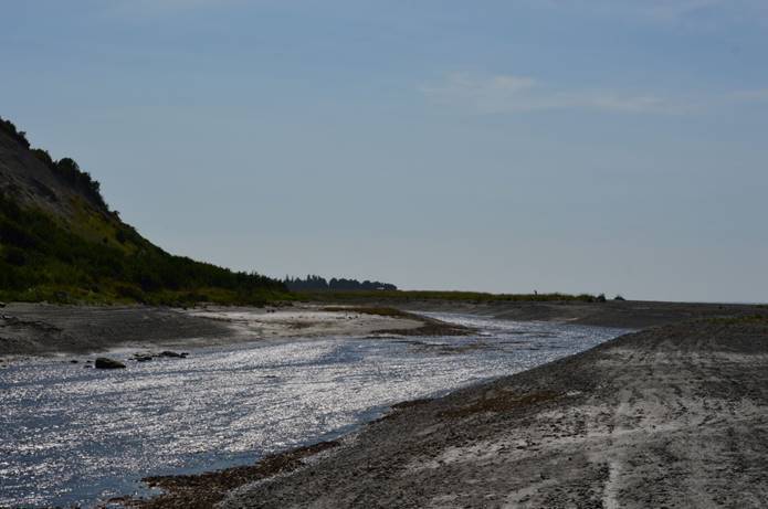
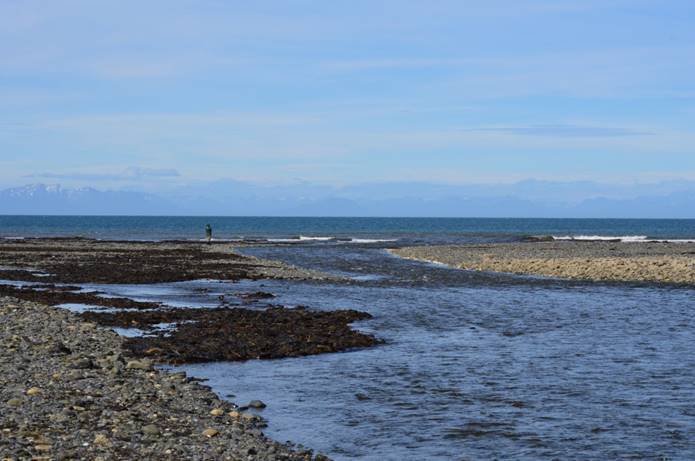
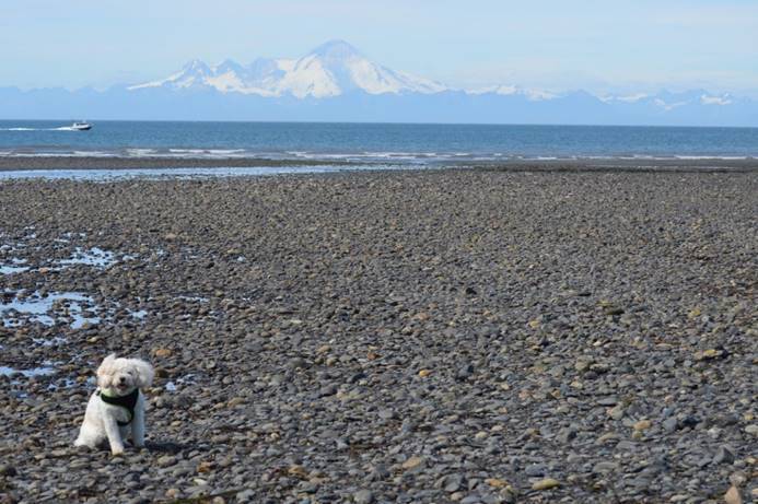
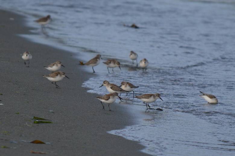
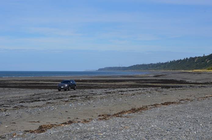
We took a drive to the tidal flats.

Back at the boat harbor, we saw arctic terns.

And what’s that?

It’s a harlequin duck!

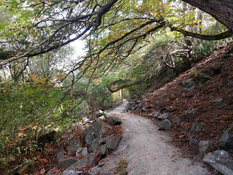
Had a walk to a mountain lake.

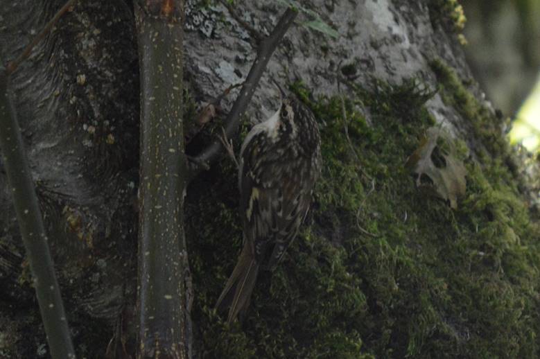
And picked off a chestnut-backed chickadee.

And found we had a new neighbor for the night.

I’m sure there is a more complimentary name for them, but Judy and I call them coffin buses.  They sleep 26!  Imagine that.  You ride in the bus part in the front all day, then crawl into your 3x3x6 cubby at night to sleep.  In our experience these are always German or Japanese tours.  This one happens to be German.

Monday June, 18,

We drove off through the morning mist.

As we cross into Yukon, signs advise us to drive with headlights on at all times and to disable radar detectors as they’re illegal in this province/territory.

We pass notices that particular lakes have been stocked.  It strikes me that we go to so much trouble to harvest eggs from fish, raise the young in hatcheries, transport them to remote lakes and release them, so people can drive a thousand miles to a wilderness lake and try to catch them.  The cynic in me observes they could just give the fish away and save everyone a lot of time and money.

The bug splats on the windshield might look the same, but I swear I get a bucket and brush out each day and rearrange them.

I do a lot of switching; cruise control off and on, exhaust brake off and on, but good speed; 100 kph.  No construction patches; great road.

On the road alone again.  We drove 45 minutes until we encountered the first other vehicle going our way.  It was a small class C RV and easy to pass.  We drove the entire two hours to Whitehorse without encountering any traffic from behind.  Of the vehicles going the other direction, a surprising number of them are RVs.  The ones we’ve talked to at fuel and rest stops have been people heading home from their Alaska adventures.  They’ve already been there, had fun, and are headed back home.

Driving the Alaska Highway is like wilderness kayaking in the Pacific Northwest or sailing the British Virgin Islands.  You’re out on your own all day long hardly encountering another soul, but every evening you find yourselves bunched up in RV Parks, anchorages, or designated wilderness campsites.

Plans change.  After all this driving to get to Fairbanks, we decided to change our first Alaska destination and make a diversion to Skagway.  After a refueling stop in Whitehorse, we backtracked a little, and turned south on the Klondike Highway.  It does an out and back to Skagway.  We can go there for our first coastal stop, then pop back out and rejoin our route along the Alaska Highway.

And a surprise along the way.  Friends from Sandpipers!  Lou and Alma are from upstate New York.  Frank and Sandra are Canadians.  They took their RVs on the ferry, up the inside passage to Skagway.  We’ve kept in touch with them and met up going opposite directions in Carcross for a quick visit.

Cold and rainy outside, we bunched up in Frank and Sandra’s trailer.

The quick visit took an hour, then we were back on our way.  The drive to Skagway involved crossing rugged coastal mountains.  The scenery was spectacular!

Back through customs, into the United States, and down the hill to our campsite.  It’s just a back-in, with water and electric, on asphalt.

But we’re just fine with the view.

Halibut fish and chips for dinner.  Judy had grilled halibut stuffed with king crab.

We’re doing just fine.

The Great 2019 Alaska Trip map

Sunset tonight 10:22.  New time zone.  Alaska time.  We’re an hour earlier than Pacific.

Last light 11:55.  697 miles to Fairbanks.

Sunday June, 17,

The roads are smooth and long again.  Back to 100 kph and cruise control off and on; a LOT of off and on.  These big long roads have miles and miles of nothing but kilometers.  Long stretches without another vehicle either direction; again, not what we expected.  We expected a strung-out caravan of a *lot* of people headed for Alaska.  Overall, other than that rough day yesterday, we’re surprised by how good the road is along the Alaska Highway.  Occasional sections of road patches and loose gravel, but mostly good pavement.

Back and forth between Yukon and British Columbia.

It’s not that we can’t make up our minds which province to be in, that’s just how the road goes.

Stopped in Watson Lake, our only civilization for the day, for fuel, lunch, mapping, reservation, cellphone calls, a touch of internet, and the sign forest.

We’re seeing more off-road RVs than we usually do.

Not as much wildlife today.

Still saw a few bear and bison though.

Done for the day at Teslin Lake.

Can’t get enough connection to update the trip map yet.  Can get some cellphone to look up sunset and distance.  Sunset tonight 11:19.  Last light 1:09am.  1:09am!  Last light for tonight is TOMRROW!  Does that make any sense?

698 miles to Fairbanks.