Wow. That blew up fast from a tropical storm to a hurricane. It has been out in the Gulf of Mexico over water that is 86 degrees. Storms feed off the heat of a warm ocean. It looked mighty well-defined this morning.
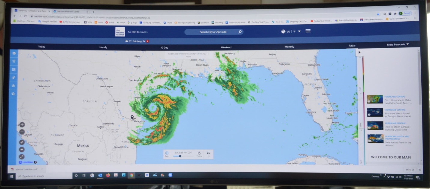
We’re well off the coast; sixty miles inland. We’re at the blue pin in the map above if you can find it. (Actually, we’re right where the blue pin is even if you can’t find it.) We’ll get tropical storm force wind and rain, but the storm surge won’t get us. Five or ten inches of rain forecast. Maybe fifteen. We’ll expect some flooding. No worries though, we’ve got our pant legs pulled up. We’ll be fine.
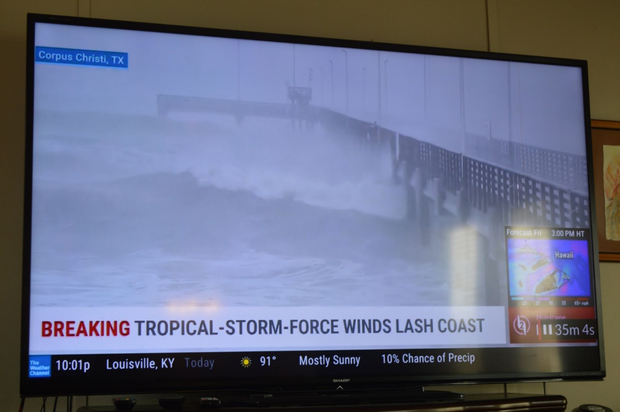
It’s already very stormy at the coast. Here are some local television reports.
The pier at Port Aransas.
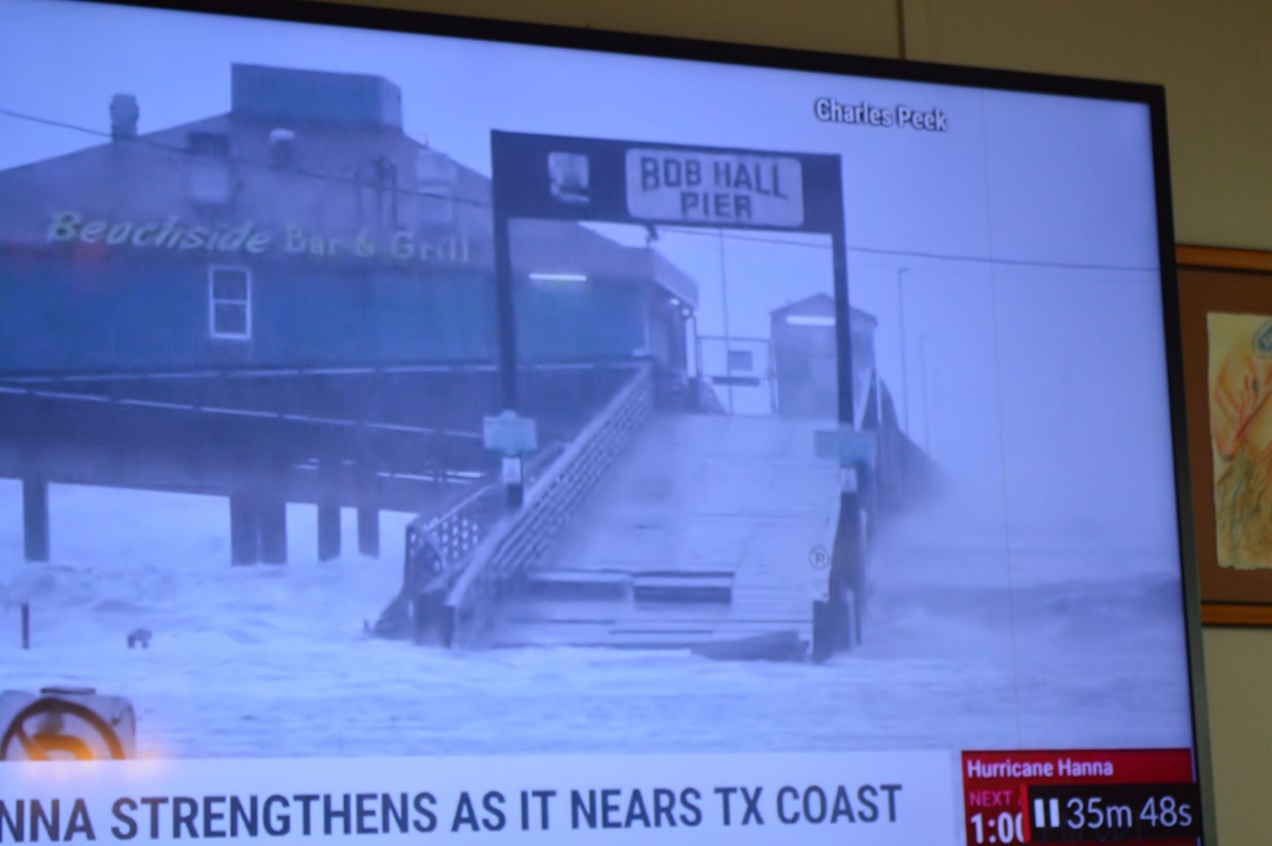
Bob Hall Pier South of Port A. It’s coming apart a little.
Somewhere near Port A.
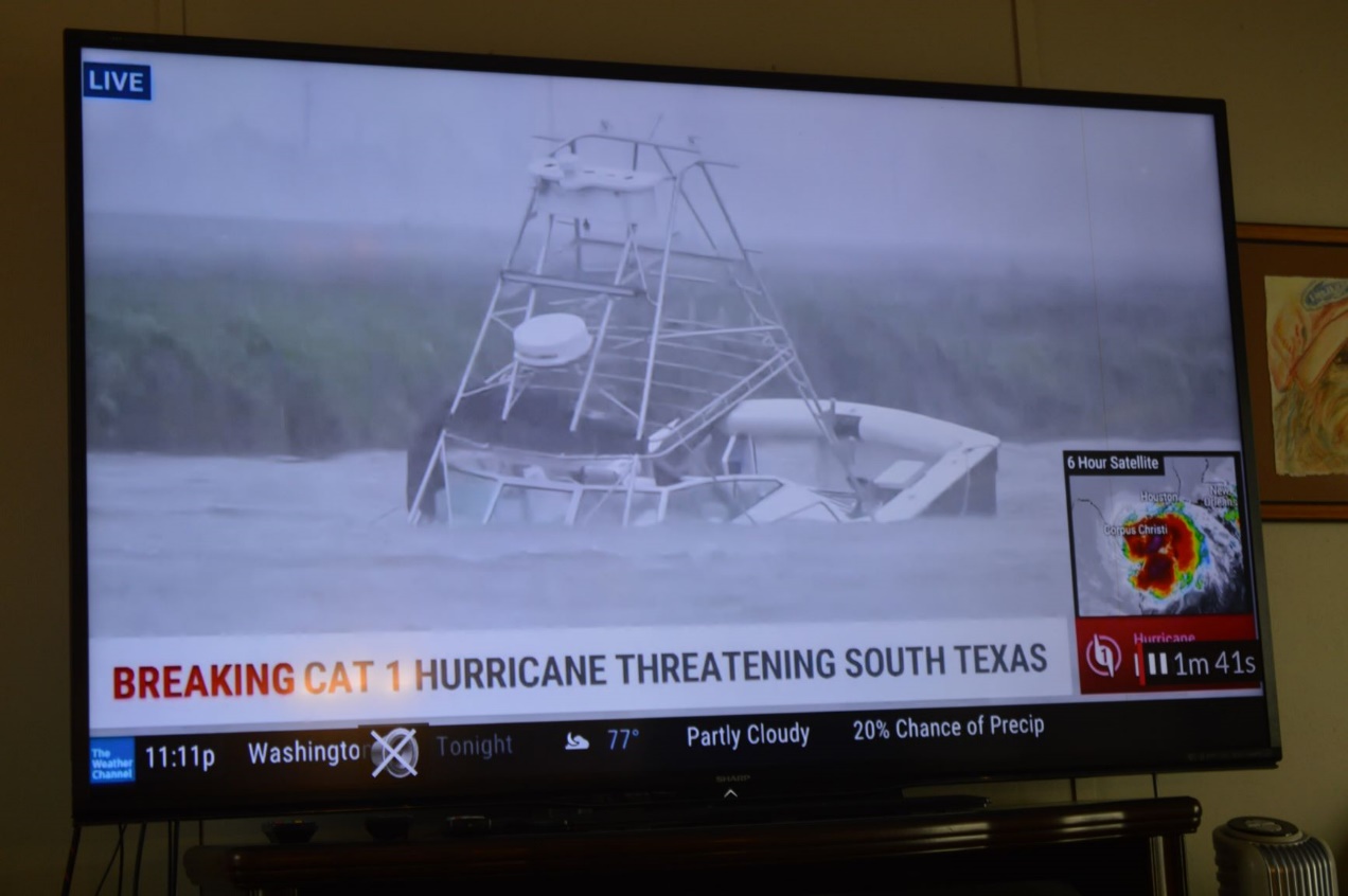
The Gulf water has already eaten up the beach at Port Aransas. Now it’s starting on the dunes.
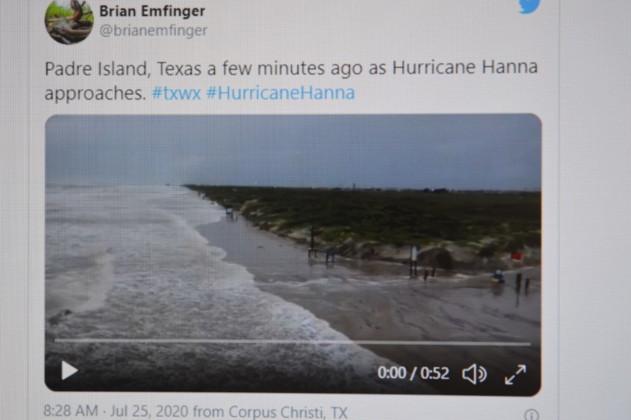
Mustang Island has a really good dune field though, so it will probably be fine.
It’ll be interesting to see how our park holds water this year. Previously, the water level continued to rise even after it stopped raining. That suggests a drainage problem not just inside our park, but from outside the park as well if water keeps draining back in. Since the last round of floods, there has been a public works project called the Raymondville Drain. It’s supposed to drain the excess water from our area all the way to the Gulf of Mexico at Port Mansfield. The new drainage project is far from done, but maybe the ditches they have been able to dig so far will make a difference.
No sign of Lake Sandpipers yet. It’s still a green-grass park.
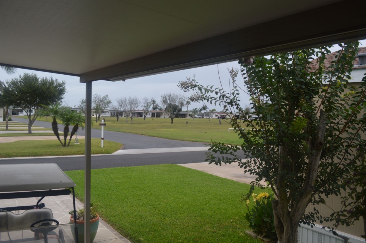
Late-day update. The hurricane has come ashore.
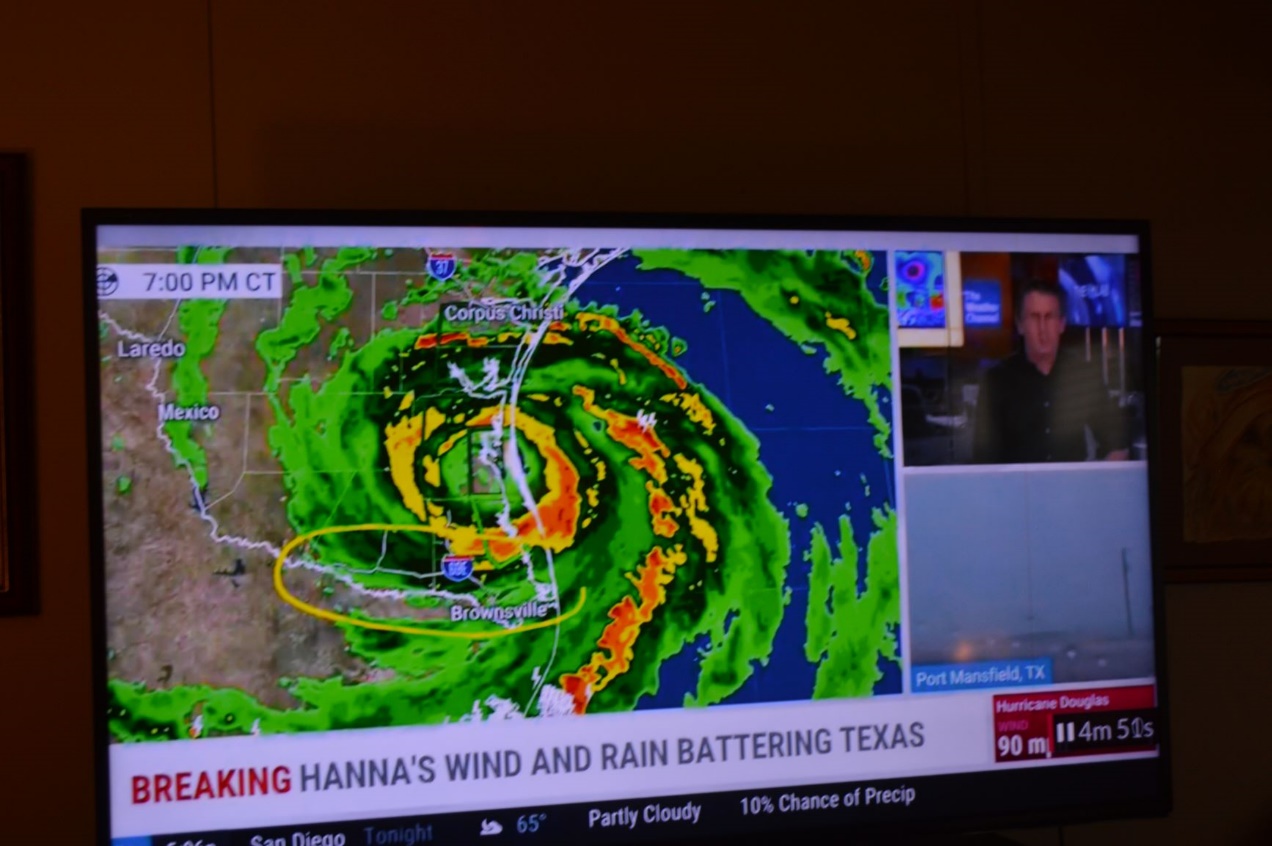
The wind and rain are here. No flooding yet.

They’ve had 100mph gusts at the coast. Rain at a rate of 4 inches per hour. The wind is shaking our house now. The power and television are blinking on and off. It will be dark here soon. The eye of the hurricane should pass right over us at about 11pm our time.
