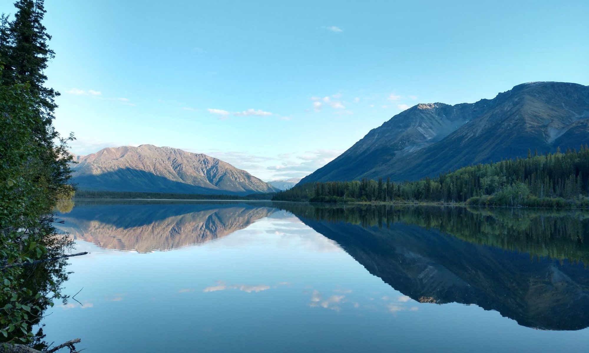
Missouri. Rolling hills. Hardwood forests, with a touch of fall, sandwiched between Kansas City and St Louis, punctuated by Columbia and a few other towns. The Missouri River to the Mississippi. Stopped for the night in East St Louis. Altitude: 650 feet. 6,500 miles.
I have a question


Friday
Another windy day driving. No bad weather other than that though. Primarily a tailwind, which makes for good mileage. 250 miles into this tank, the fuel screen shows a remaining range of 700 miles.
With the current technology, we get live traffic and construction reports integrated into our navigation software. That helped getting past Kansas City.
Stopped for the night in Higginsville, MO.

Elevation: 817 feet.6,290 miles.http://maps.google.com/maps/ms?ie=UTF8&hl=en&msa=0&msid=107013362562471418011.00046ff7cac9ae98ff560&ll=40.513799,-107.402344&spn=30.0185,78.662109&z=4
Thursday
Watched the weather channel. Dangerous weather ahead. We decided to stay here an extra day. Don’t mind a little wind and rain. Don’t want to mess with Midwest hail and tornadoes.
Took a walk. Stumbled across a long-abandoned nature trail.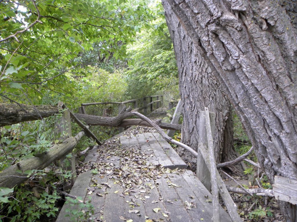
Took a walk. Stumbled across a long-abandoned nature trail.

There were several old shelters like this. Made out of heavy timbers. Maybe railroad ties.
Also stumbled across an interesting plant. Looks vaguely familiar. Nice buds. Didn’t look tended. Probably just another relic from an earlier enterprise.
Wednesday
It was cold last night 36 degrees. Drove an Interstate 80 day. Trucker’s highway. Stopped for the night at Fort Kearney State Park. The farthest east we’ve been in Nebraska this year.
So what do we know about Nebraska? Corn? Check out Fort Kearney State Park!


Wind in the trees. Cicadas. It’s nice here.
Elevation 2,150 feet.
Temperature still in the upper sixties so far tonight.
5,910 miles.
http://maps.google.com/maps/ms?ie=UTF8&hl=en&msa=0&msid=107013362562471418011.00046ff7cac9ae98ff560&ll=40.513799,-107.402344&spn=30.0185,78.662109&z=4
Elevation 2,150 feet.
Temperature still in the upper sixties so far tonight.
5,910 miles.
http://maps.google.com/maps/ms?ie=UTF8&hl=en&msa=0&msid=107013362562471418011.00046ff7cac9ae98ff560&ll=40.513799,-107.402344&spn=30.0185,78.662109&z=4