Monday June, 18,

We drove off through the morning mist.
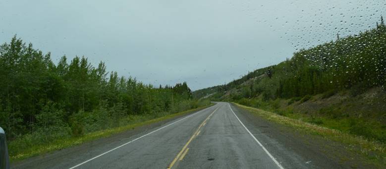
As we cross into Yukon, signs advise us to drive with headlights on at all times and to disable radar detectors as they’re illegal in this province/territory.
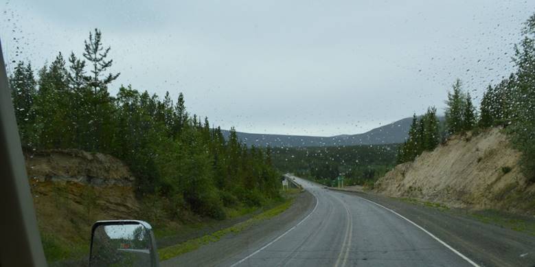
We pass notices that particular lakes have been stocked.  It strikes me that we go to so much trouble to harvest eggs from fish, raise the young in hatcheries, transport them to remote lakes and release them, so people can drive a thousand miles to a wilderness lake and try to catch them.  The cynic in me observes they could just give the fish away and save everyone a lot of time and money.

The bug splats on the windshield might look the same, but I swear I get a bucket and brush out each day and rearrange them.

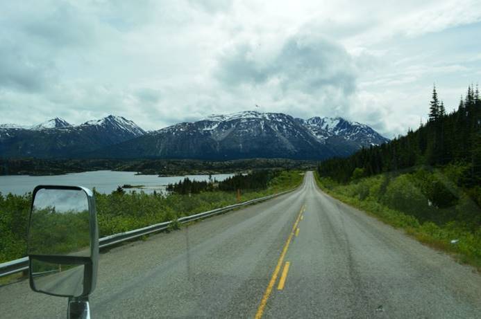
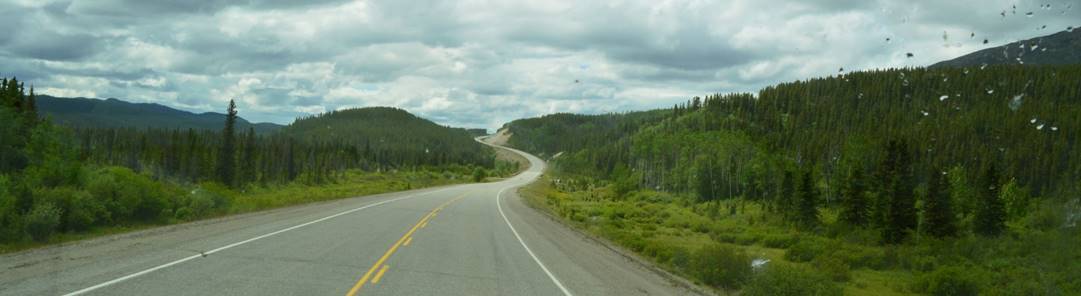
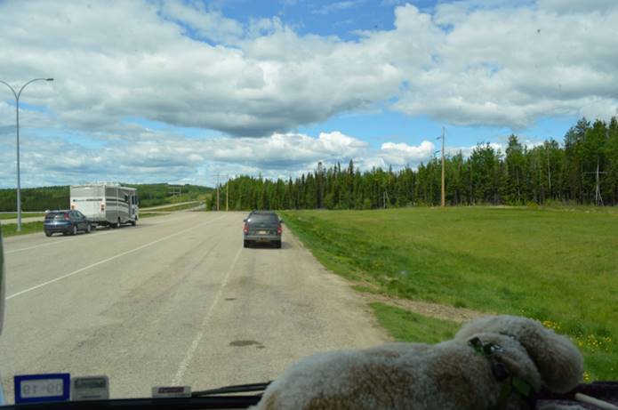
I do a lot of switching; cruise control off and on, exhaust brake off and on, but good speed; 100 kph.  No construction patches; great road.

On the road alone again.  We drove 45 minutes until we encountered the first other vehicle going our way.  It was a small class C RV and easy to pass.  We drove the entire two hours to Whitehorse without encountering any traffic from behind.  Of the vehicles going the other direction, a surprising number of them are RVs.  The ones we’ve talked to at fuel and rest stops have been people heading home from their Alaska adventures.  They’ve already been there, had fun, and are headed back home.

Driving the Alaska Highway is like wilderness kayaking in the Pacific Northwest or sailing the British Virgin Islands.  You’re out on your own all day long hardly encountering another soul, but every evening you find yourselves bunched up in RV Parks, anchorages, or designated wilderness campsites.

Plans change.  After all this driving to get to Fairbanks, we decided to change our first Alaska destination and make a diversion to Skagway.  After a refueling stop in Whitehorse, we backtracked a little, and turned south on the Klondike Highway.  It does an out and back to Skagway.  We can go there for our first coastal stop, then pop back out and rejoin our route along the Alaska Highway.

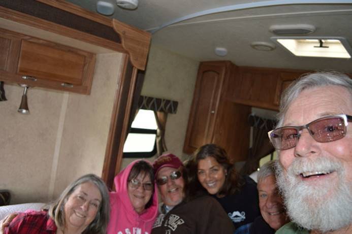
And a surprise along the way.  Friends from Sandpipers!  Lou and Alma are from upstate New York.  Frank and Sandra are Canadians.  They took their RVs on the ferry, up the inside passage to Skagway.  We’ve kept in touch with them and met up going opposite directions in Carcross for a quick visit.
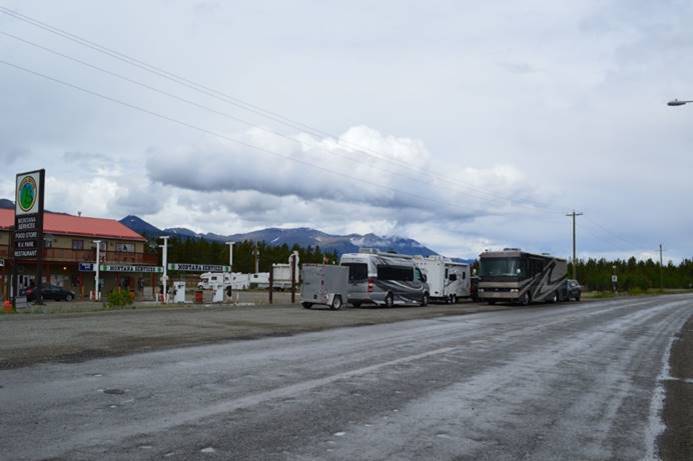
Cold and rainy outside, we bunched up in Frank and Sandra’s trailer.
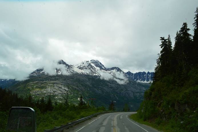
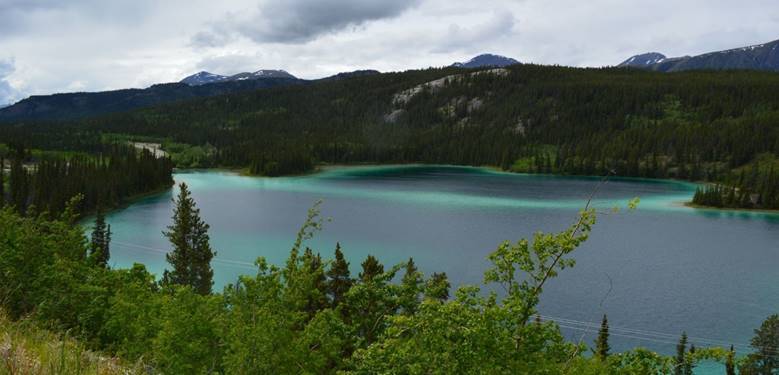
The quick visit took an hour, then we were back on our way.  The drive to Skagway involved crossing rugged coastal mountains.  The scenery was spectacular!
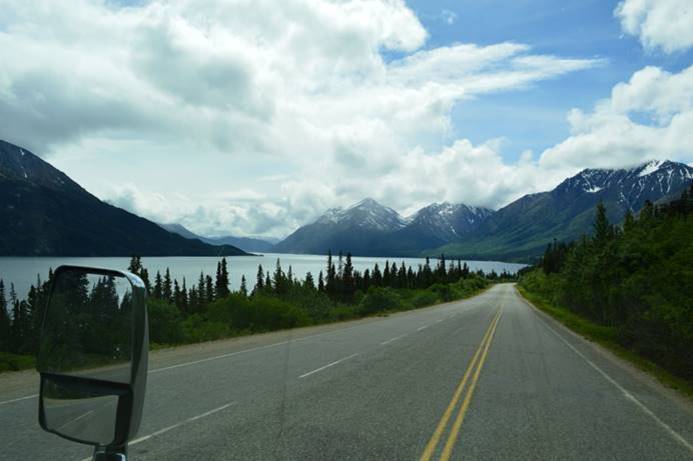
Back through customs, into the United States, and down the hill to our campsite.  It’s just a back-in, with water and electric, on asphalt.
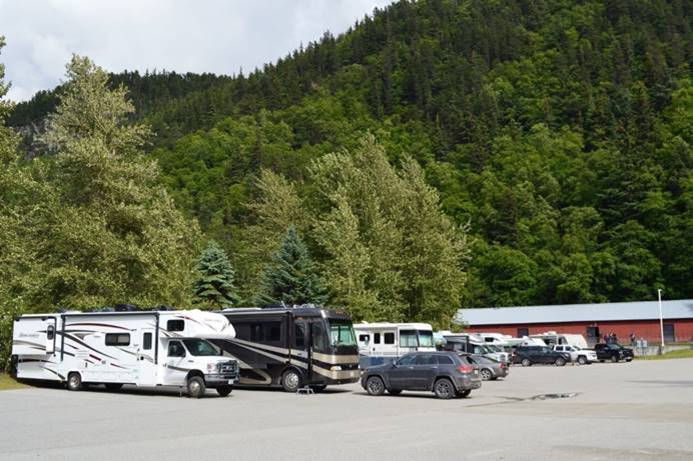
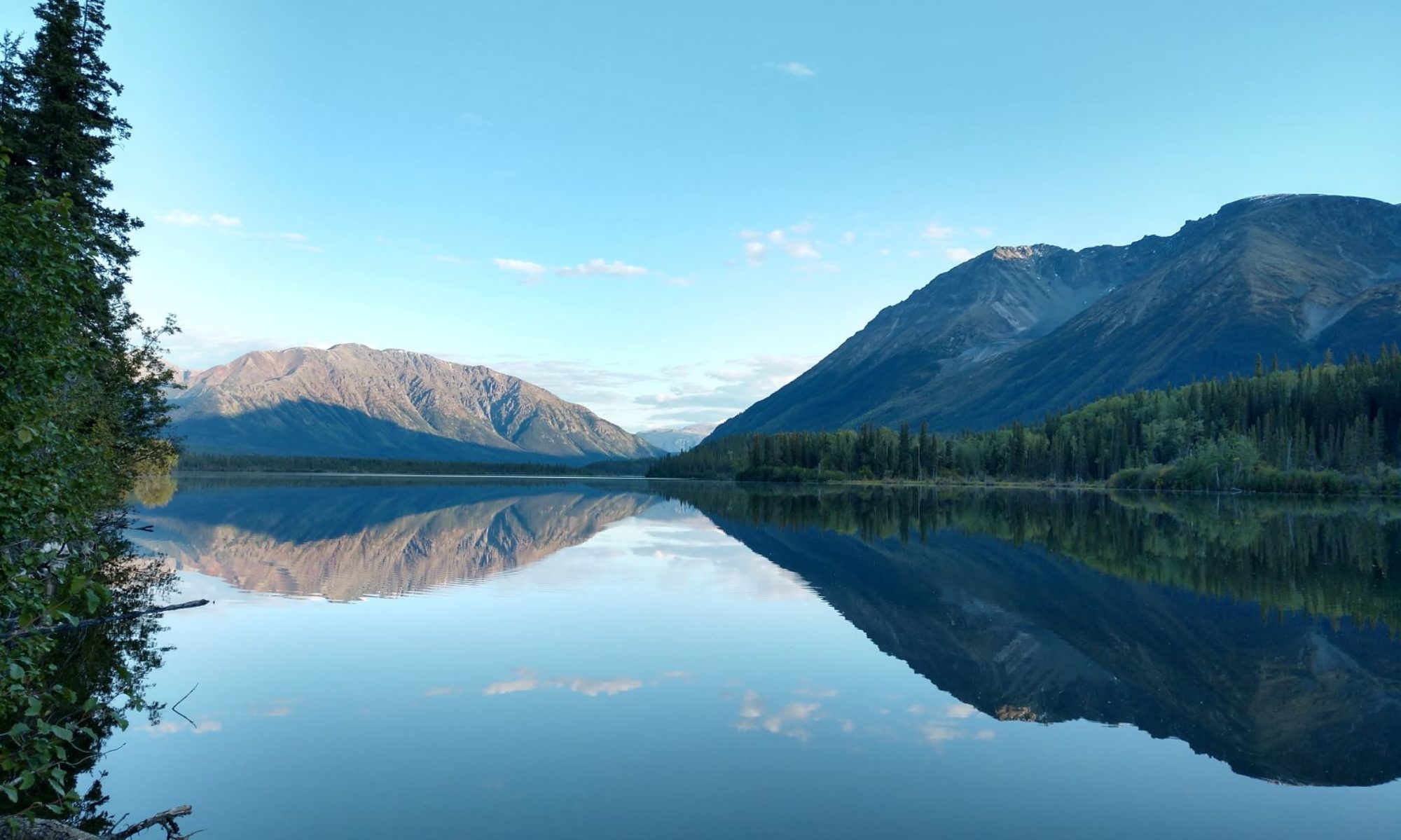
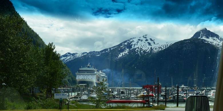
But we’re just fine with the view.
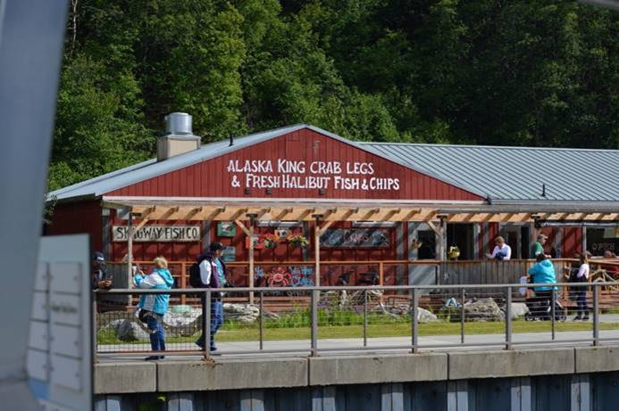
Halibut fish and chips for dinner.  Judy had grilled halibut stuffed with king crab.
We’re doing just fine.

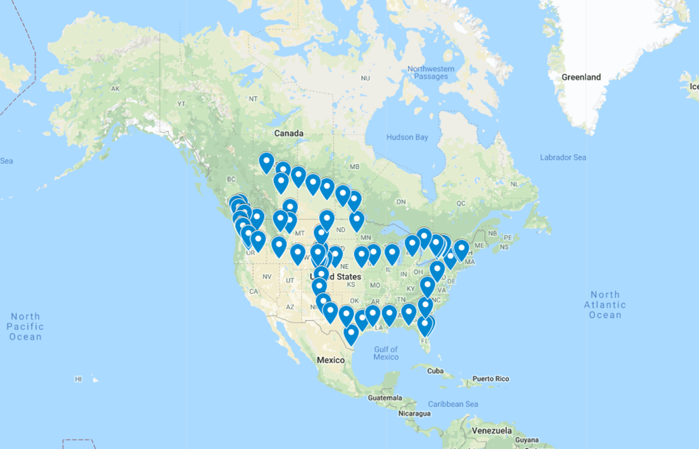
The Great 2019 Alaska Trip map

Sunset tonight 10:22.  New time zone.  Alaska time.  We’re an hour earlier than Pacific.

Last light 11:55.  697 miles to Fairbanks.
Sunday June, 17,

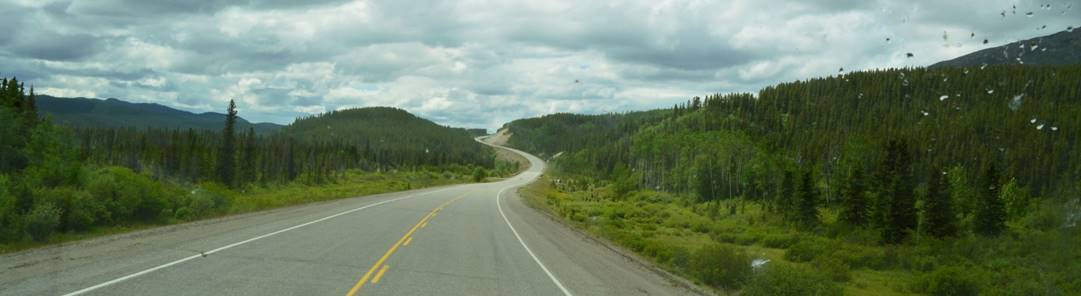
The roads are smooth and long again.  Back to 100 kph and cruise control off and on; a LOT of off and on.  These big long roads have miles and miles of nothing but kilometers.  Long stretches without another vehicle either direction; again, not what we expected.  We expected a strung-out caravan of a *lot* of people headed for Alaska.  Overall, other than that rough day yesterday, we’re surprised by how good the road is along the Alaska Highway.  Occasional sections of road patches and loose gravel, but mostly good pavement.

Back and forth between Yukon and British Columbia.

It’s not that we can’t make up our minds which province to be in, that’s just how the road goes.

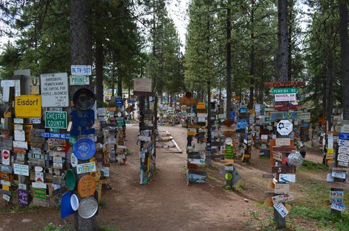
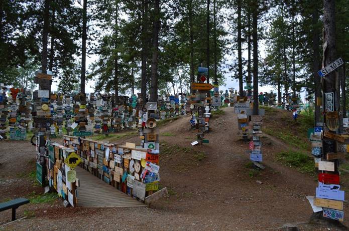
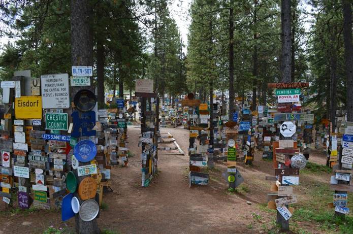
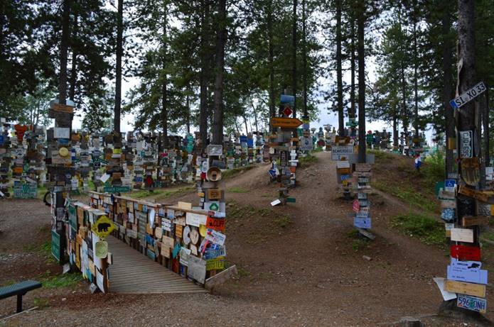
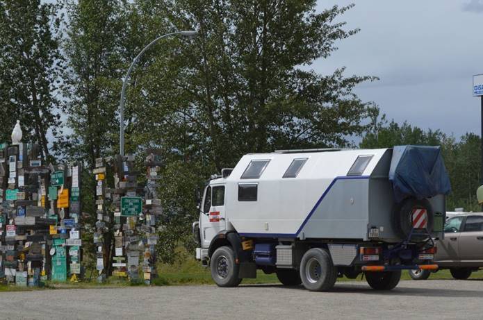
Stopped in Watson Lake, our only civilization for the day, for fuel, lunch, mapping, reservation, cellphone calls, a touch of internet, and the sign forest.

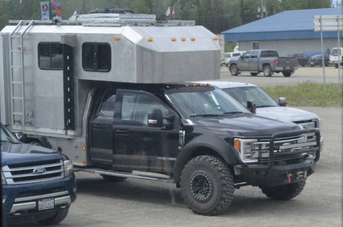
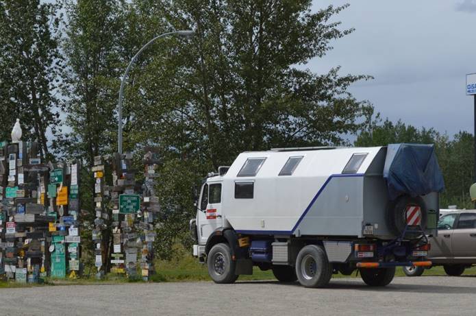
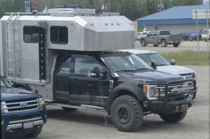
We’re seeing more off-road RVs than we usually do.

Not as much wildlife today.

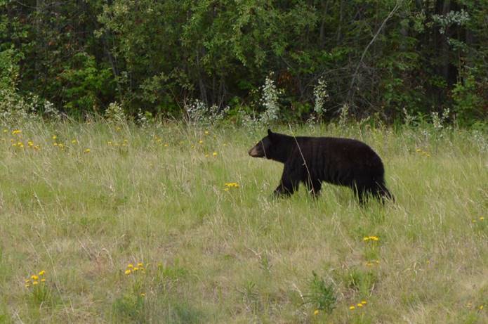
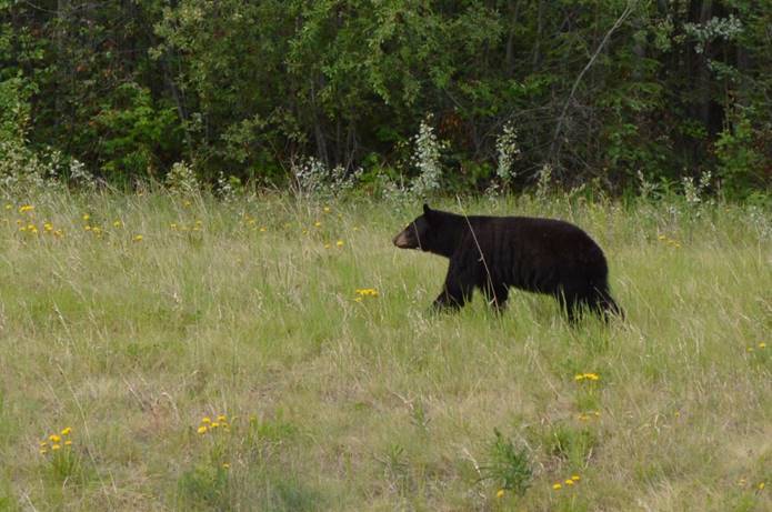
Still saw a few bear and bison though.

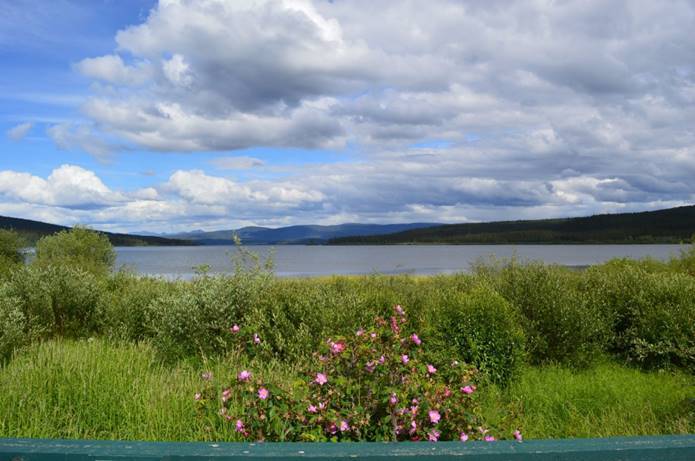
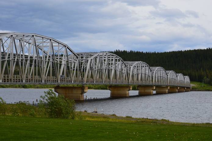
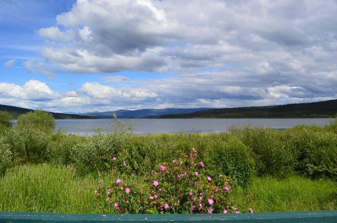
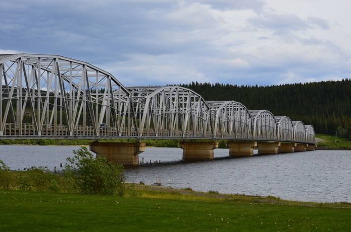
Done for the day at Teslin Lake.

Can’t get enough connection to update the trip map yet.  Can get some cellphone to look up sunset and distance.  Sunset tonight 11:19.  Last light 1:09am.  1:09am!  Last light for tonight is TOMRROW!  Does that make any sense?

698 miles to Fairbanks.
Sunday June, 17,

The roads are smooth and long again.  Back to 100 kph and cruise control off and on; a LOT of off and on.  These big long roads have miles and miles of nothing but kilometers.  Long stretches without another vehicle either direction; again, not what we expected.  We expected a strung-out caravan of a *lot* of people headed for Alaska.  Overall, other than that rough day yesterday, we’re surprised by how good the road is along the Alaska Highway.  Occasional sections of road patches and loose gravel, but mostly good pavement.

Back and forth between Yukon and British Columbia.

It’s not that we can’t make up our minds which province to be in, that’s just how the road goes.

Stopped in Watson Lake, our only civilization for the day, for fuel, lunch, mapping, reservation, cellphone calls, a touch of internet, and the sign forest.

We’re seeing more off-road RVs than we usually do.

Not as much wildlife today.

Still saw a few bear and bison though.

Done for the day at Teslin Lake.

Can’t get enough connection to update the trip map yet.  Can get some cellphone to look up sunset and distance.  Sunset tonight 11:19.  Last light 1:09am.  1:09am!  Last light for tonight is TOMRROW!  Does that make any sense?

698 miles to Fairbanks.
Wednesday June, 13,

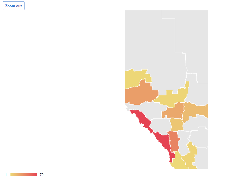
We’re not the only people going to Alaska, but it certainly feels like it driving through Alberta.  We’re on big four-lanes all the way with no traffic except in cities, and we’re done with cities.  All we see are Alberta plates and RVs are rare.  It seems the Montana route up through Canada is relatively undiscovered.  Very few out-of-province travelers; our Texas plates have inspired more than one friendly conversation.  That and Henry; Henry gets a lot of attention too.  We expect to meet-up with the rest of the Alaska travelers at Dawson Creek.

Rest areas are more frequent and much simpler than we’re used to; minimal landscaping and facilities.  Not as attractive as they could be, but they’re functional.  Less expensive to build and maintain means it’s easier to afford more of them.  In between rest stops are pullouts that are no more than a couple extra lanes, one for decelerating and accelerating, and one to park in.  We’ve never passed one that was full.

Northwest of Grande Prairie we finally lost the four-lane and are down to two lane.  The road is a little rougher in spots, but no frost-heave horror stories yet.  So far we’ve survived the rough-spot bounces with all six wheel remaining on the road.  West of Valley View, it’s definitely more hilly, but certainly not mountainous yet.

We stopped for diesel fuel around Edmonton and filled up at a Flying J; something we’re used to.  As we get farther from civilization, mostly what we see are Cardlock stations now.  We gather that means they’re card activated pumps that are open and unattended around the clock.  Problem is, it’s not clear that the card they take is a normal credit card or if they require some special card like one for that particular brand.  A few years ago, we stopped at one of those unattended cardlock stations and couldn’t get it to work.  We’ll report back on that challenge.

And now we’ve made it to British Columbia.  We’re at Dawson Creek.  We’re done with the Alberta map for this part of the trip.

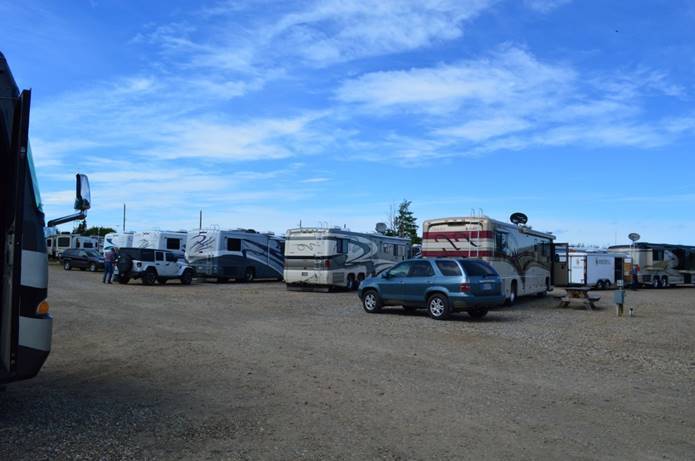
Dawson Creek is the home of milepost zero.  We’ve made it to the start of the Alaska Highway!  We’re at a gravel parking lot kind of RV Park.

The park is pretty full.  There is a Foretravel caravan with eighteen rigs camped here for the night also on their way to Alaska.

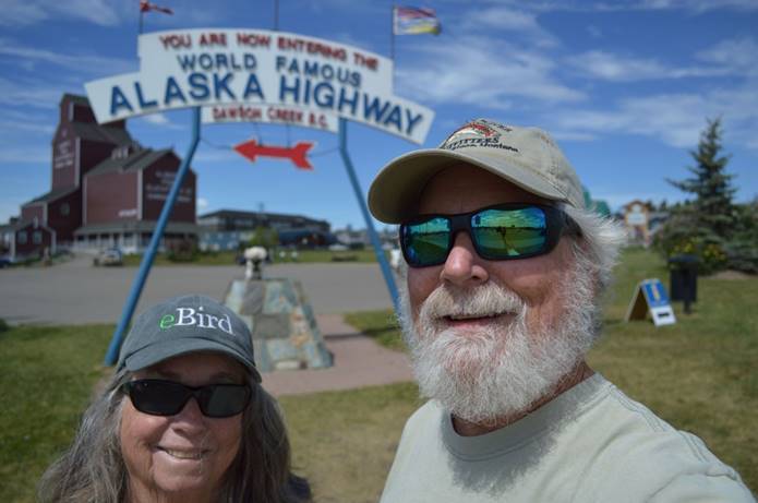
Took the picture at mile marker zero.

It didn’t come out very good.  That’s a selfie with the 35mm camera.  It had to choose between focusing on us or on the sign behind us.  It picked us.  I’ve got a new phone and haven’t mastered managing the photos yet.  They come out HUGE.

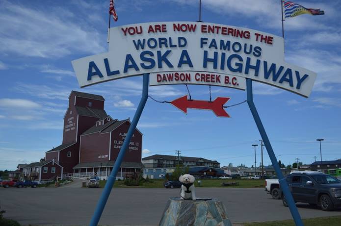
Henry’s picture came out better.

Spotted a tree swallow in a nesting box.

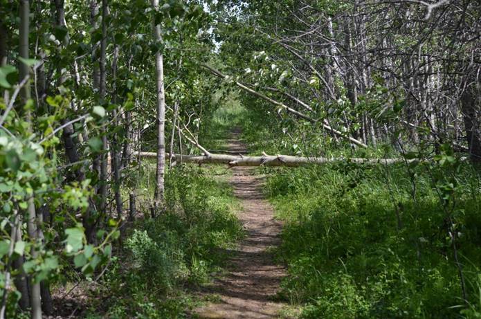
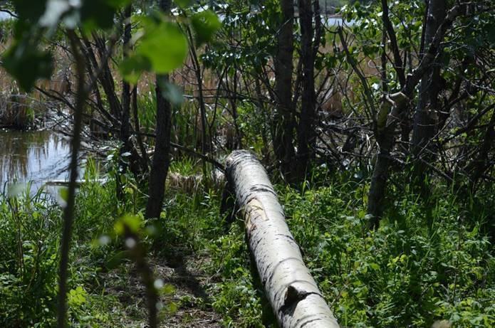
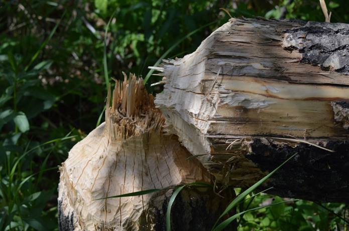
…and some beaver-felled trees.

Some of them substantial.

We thought we might stay here two days to celebrate this beginning, but we took a drive around in the Jeep this afternoon and we’re done with Dawson Creek already.  Tomorrow, north to our next adventure.  Camping gets a little iffier as we go on from here.  We won’t necessarily be at campgrounds every night.

The Great 2019 Alaska Trip map

Sunset tonight 9:46; we’ve crossed into the Pacific time-zone.  Last light 10:44.

1,459 miles to Fairbanks.
Tuesday June, 12,

We’ve lost our visual cues.  Normally, if we wake up in the morning and its light outside, we know it’s time to get up.  Here, we get up in the morning after it has been light for hours.    We go to bed when it’s still light outside.  There is no way to know when to eat dinner, except by the clock.

We’ve also lost one of our television satellites.  It takes three to get all the channels.  As we go north, the satellites appear to be lower in the sky.  One of them is below the horizon our dish can see.

The roads are noticeably rougher today, but it’s still pretty good divided four-lane.  Mostly we maintain about 100kph (65).  We’ve made it to the Boreal Forest, that vast swath of mostly coniferous forest way up north.

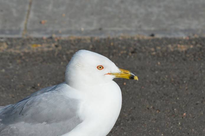
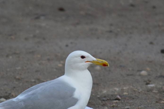
This far inland and we’re still seeing gulls.  There are many Franklin’s gulls swarming over the rivers feeding.  On dryer ground, there are ring-billed gulls and California gulls.  These two gulls can be hard to tell apart, but the Ring billed have light irises.

California have dark irises.

That red spot on the bill is not always easily visible.

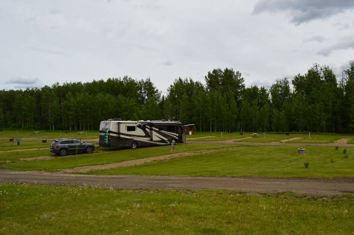
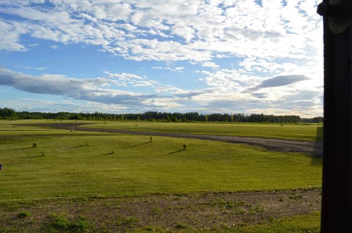
Done for the day at Valley View, still in Alberta.

The RV Park is new enough that it still shows as farmland on Google Maps.

At Valley View, we’ve just matched the farthest north we’ve ever been, which was the 2017 summer trip, the great figure 8.

The Great 2019 Alaska Trip map

I would describe the 2019 trip map as “single-minded” compared to 2017.

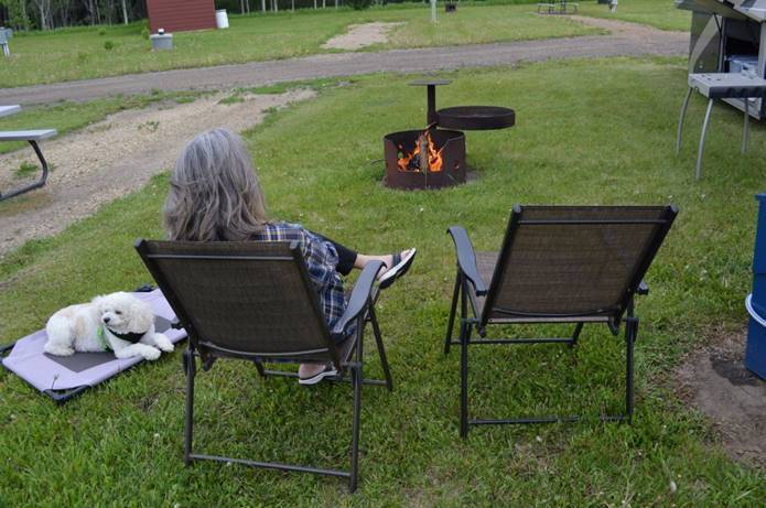
Settled down with an evening fire.

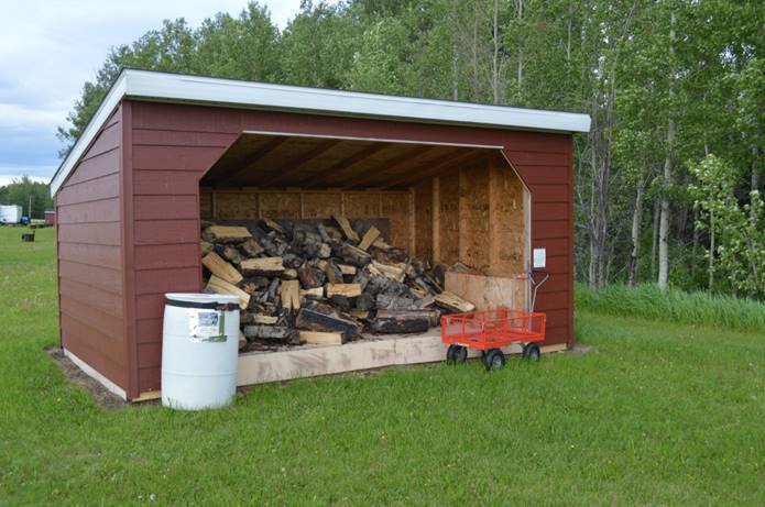
We’re in the land of free firewood.  They stock the woodshed;

… use as much as you want.

We got our first lifer of the trip tonight.  A pair of Boreal owls were calling from the forest edge.  We’re not going to run into those birds in South Texas!

Sunset tonight 10:28.  Last light 11:24.  1,616 miles to Fairbanks.