It was a dark and stormy night May, 17,

Not really; but it was raining by the time we got to the Front Range.
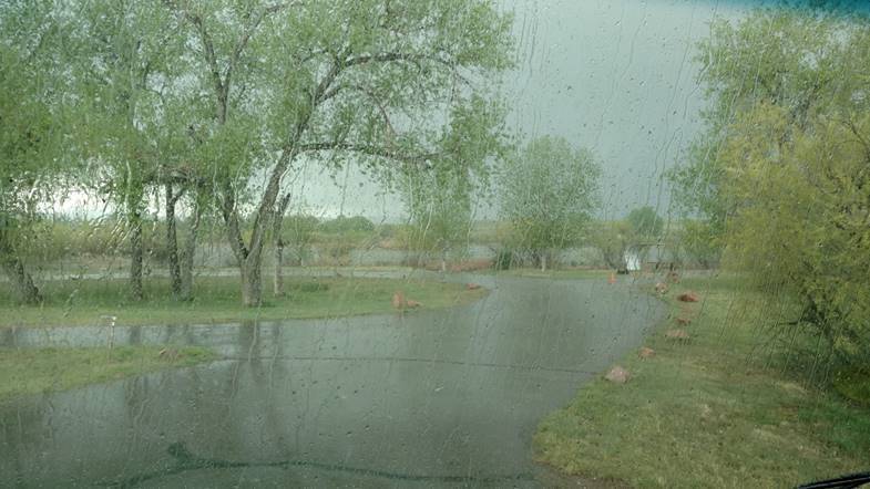
Afternoon thunderstorm.  Crashes and booms.  Hail too.  The last loudest lightning strike had a very “clangy” reverberation to it.  We think it hit one of the metal picnic table shelters.

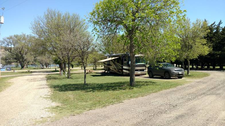
We’re settled in at St Vrain State Park.  We can visit Becky and family from here.

The Great Alaska Trip map

3,037 miles to Fairbanks.

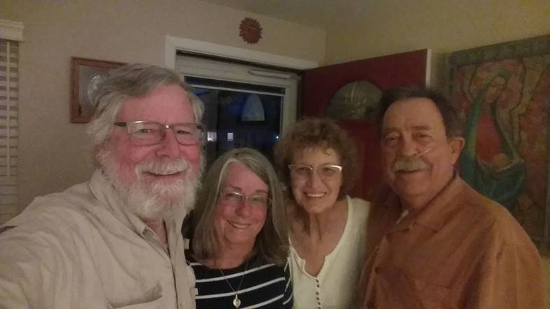
Dinner with John B. and Kip.
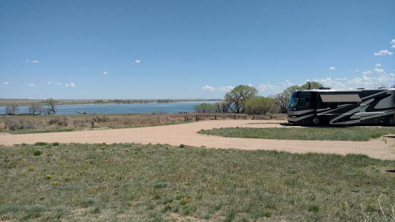
Here is the spot we left at Jackson Lake State Park.
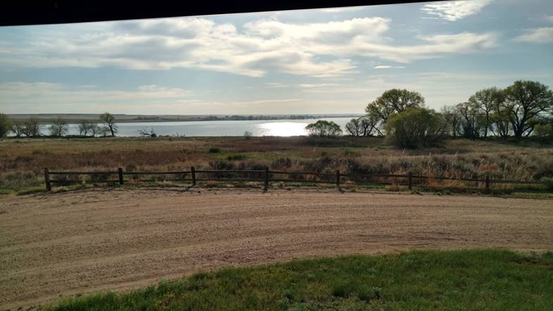
And the morning light.
Highway 83 May, 13,

Highway 83 has been very good to us.  We’ve been on it almost all the way so far.  Not like the freeway at all.  It slows down and goes through every small town.  Just like the old days.

It is one of the longest highways in America.  It goes 1,894 miles from the Canadian border above Westhope, ND to Brownsville, TX.  We’ve driven most every part of it on one trip or another.  (In fact, on Google Maps, it goes all the way up to Swan River in Manitoba, but we haven’t driven that part.)  We’re going to leave it soon when we turn left on Interstate 70 just above Oakley.

Tonight we’re at Lake Scott State Park.

This is the warmest sunniest day we’ve had so far this trip.

The Great Alaska Trip map

3,343 miles to Fairbanks.  This driving to Alaska thing is easy.  In 530 miles, we’ll be a third of the way there!

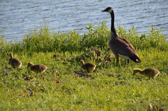
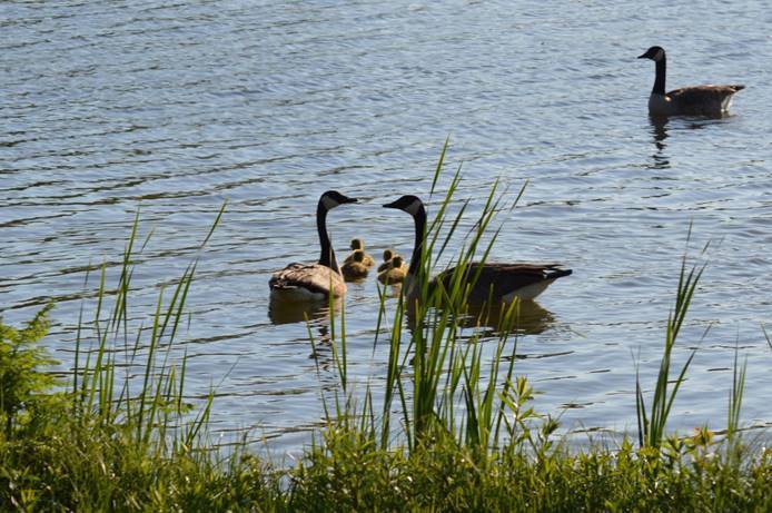
Canada geese and kids.