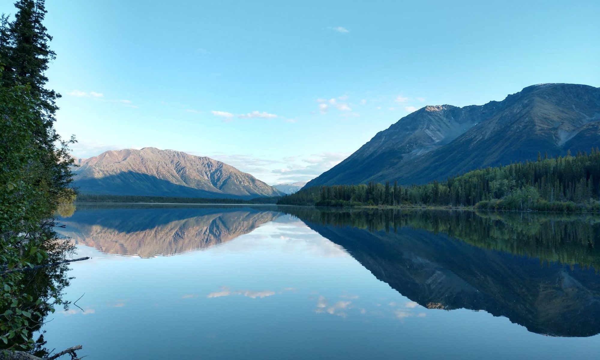
Annie hasn’t adjusted to the time change

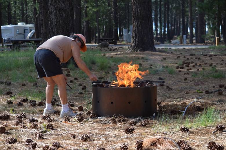
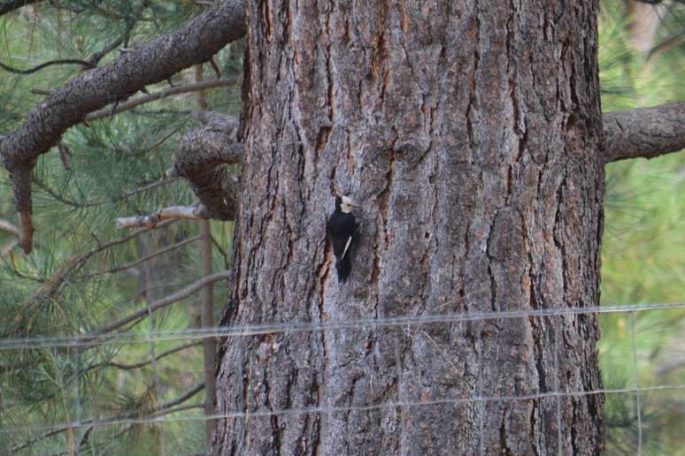
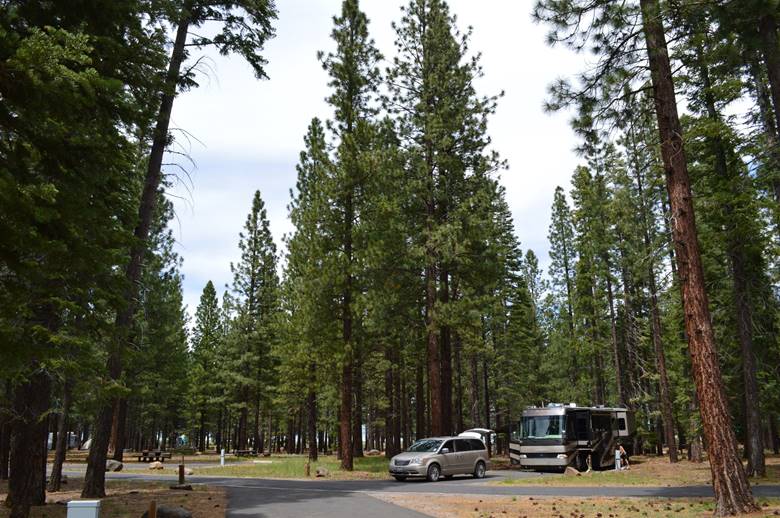
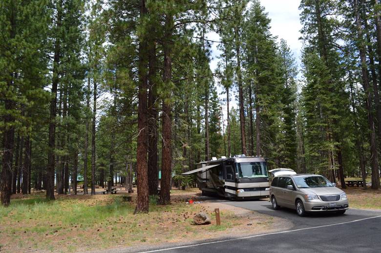
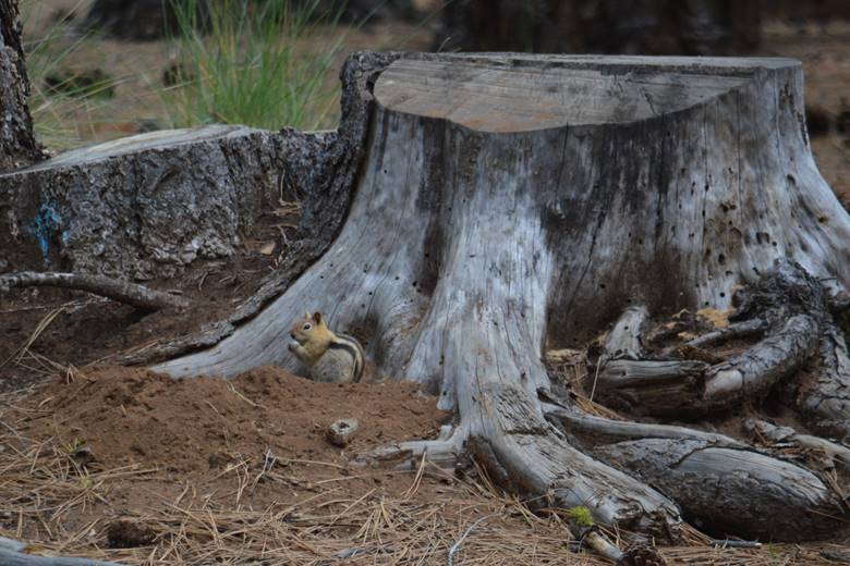
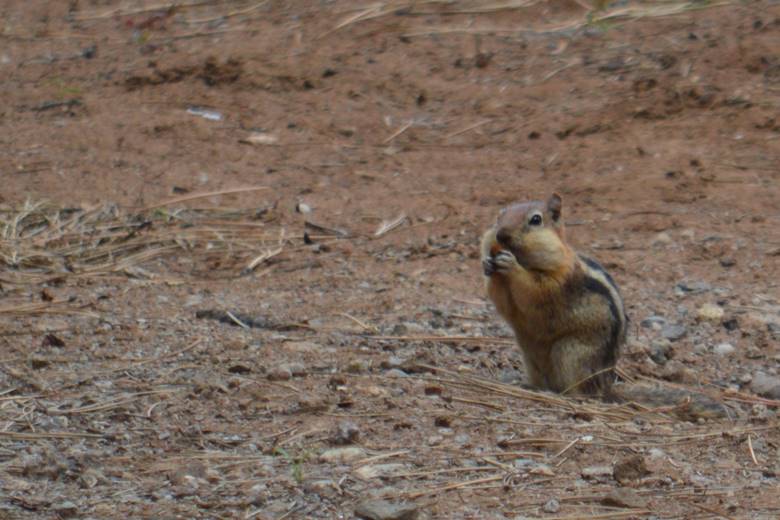
 She went off at 5:45 so Judy could take her out for her morning constitutional.  Henry goes where Annie goes. A long level drive from Winnemucca to Sparks.  We didn’t have to downshift out of 5th gear or use the exhaust brake even once.  That is level driving for sure.  Not so from Sparks to Susanville.  Lots of ups and downs. When we cross into California the speed limit sign says 65mph.  The next speed limit sign says 55mph for trucks or any vehicle towing.  The highway goes to two lanes.  That’s an interesting set-up.  They tell all the cars to go 65mph and all the trucks to go 55mph.  What could possibly go wrong with that plan?  I set the cruise on 60. Check this out.  We found a forest service campground that is big-rig friendly with 50 amp full hook-ups.  We’re parked in a pine forest. Merrill Campground on Eagle Lake north of Susanville.    Golden mantled ground squirrels and white-headed woodpeckers.   2015 summer trip map We seem to finally be out of miller time. 
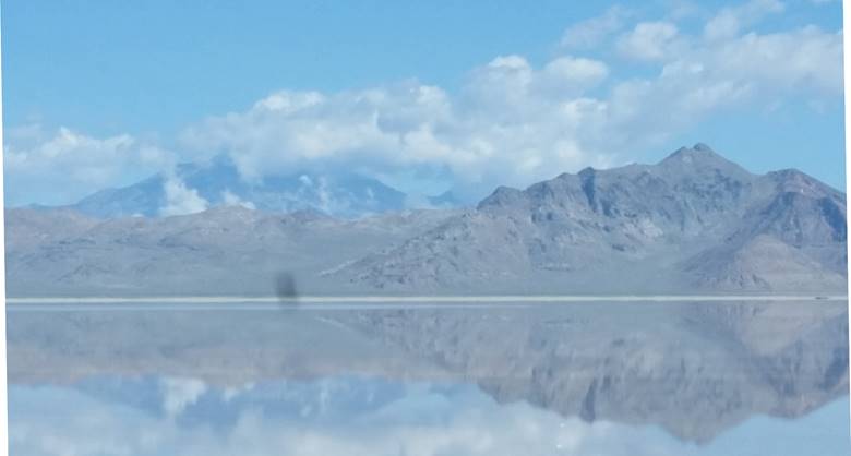
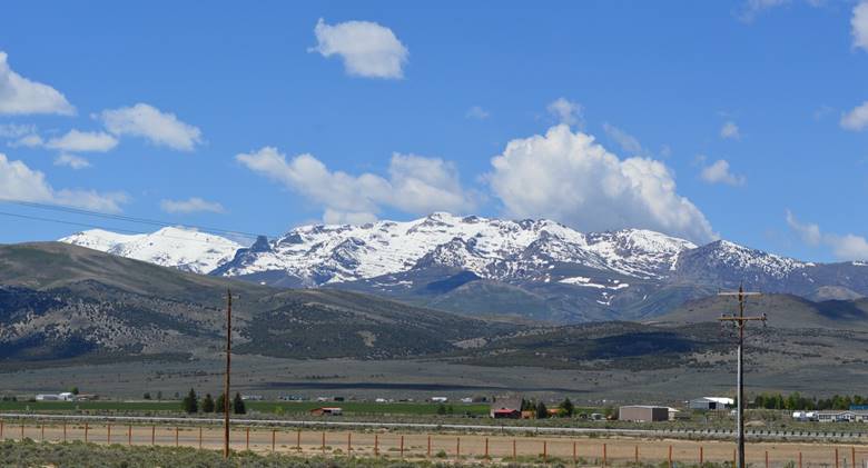
Leaving the rugged snow-capped mountains of Utah behind,

 …we head west on Interstate 80, past wind-blown mudflats, then the Great Salt Lake.  Ring-billed gulls and California gulls.  American avocets and black-necked stilts.  Cormorants. Saltair Pavilion perched precariously at the edge of the water.  It has seen better days. A marina and a boatyard.  Mallards.  White pelicans.  Teal.  Great egrets.  Crows and ravens.  Railroad tracks alongside the highway.  Gleaming white mountains of harvested salt. The construction truck with a sign on the back that says “We don’t pay for windshield chips.  Stay back 150 feet.” passes on the left then cuts back close in front of us.  I punch off cruise control and coast until he is safely ahead. Annie on Judy’s lap.  The road rises over rolling hills and leaves the lake behind.  We descend to the flats that go on for another 50 miles.  It appears there will be no racing today on the Bonneville Salt Flats.  They’re submerged under standing water. We reach Wendover, Nevada at 10:30am.  Then we cross into the Pacific Time Zone, making it 9:30am.  We’re making great time. Crossing sky-islands of north/south ridges all across Nevada, we come to the rugged snow-capped mountains south of Wells. This is where the himalayan snowcocks were released in the 1960s for hunting.  They proved too difficult as a game bird, and the isolated flock persists.  We won’t see any from where we are. We end the day at the New Frontier RV Park in Winnemucca.  Sunny and warm.  We’ve done it.  We’ve left the cold wet weather behind. 2015 summer trip map 

Know what day it is?

 It’s Hump Day!  Already! We don’t stop working just because we’re traveling.  We just work with a different view out the window each day.  This is a nice comfortable KOA here in Salt Lake City; a good place to spend the day and catch-up on work.  I say “catch-up” like that’s something that’s actually possible.  I at least need to make sure I’m current each day with everyone I’m corresponding with. My job is to get new clients.  Most of our new clients come by referral, but I look for ways to offer our services to nonprofit organizations that haven’t heard of us before.  I solicit inquiries.  They send me information about themselves.  I send them information about us and what our fees are.  Sometimes we connect. I don’t actually do any accounting work anymore, I just help the people who are doing the work stay busy.  

Wild Wonderful Wyoming

Sagebrush and pronghorns; Judy calling out the herds.  Crows and ravens.  Snowfence stacked in layers to the south.  A thousand miles of snowfence for a hundred miles of road.  A red-tailed hawk. It’s fairly flat.  The Continental Divide is at 7,000 feet.  We cross it twice.  Between the two high points is a huge plateau with no drainage east or west; recent rains leaving water on any low-lying land. The speed limit is 80.  We maintain our 68.  A dog in my lap.  Blue sky crisscrossed by vapor trails.  A few cattle.  Long slow-moving freights.  A lone dead cow bloating in the morning sun. Point of Rocks, and down to Rock Springs.  Past the turn to Flaming Gorge we’ve never taken in all these years on the road.  A magpie flaps slowly across the road. Little America, Fort Bridger, and Evanston.  A rest stop in Utah for lunch.  Sheep country.  Echo Reservoir.  Downhills.  Salt Lake City.  Our first traffic light in 500 miles. We’re at the Salt Lake City KOA.  2015 summer trip map