East on Highway 3. South on Highway 4. Crossed over at Coutts/Sweetgrass. An easy 15 minute crossing; about the same as our crossing into Canada a couple weeks ago.
South to Shelby. Turned east on US 2. We like Highway 2. In earlier years we’ve followed Highway 2 from Whidbey Island in Washington eastbound through Idaho, and as far as Glacier National Park in Montana. We decided to travel more of the highway, headed east.
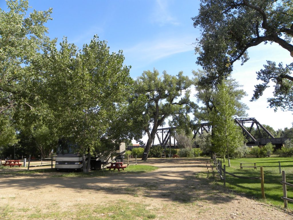
Stopped for the night at the little town of Malta, at the Edgewater Inn and Campground. (We’re sleeping behind the motel.) It’s a nice spot. Cottonwood trees. The Milk River. A train track runs right behind the campground on a bridge over the river. So far there have been about five trains an hour. I’m sure that couldn’t go on all night though…. They probably stop the trains about ten o’clock so everyone can get a good night’s sleep. Right…?
I mean, how bad could it be???
4,060 trip miles.
Check out the map: http://maps.google.com/maps/ms?ie=UTF8&hl=en&msa=0&msid=107013362562471418011.00046ff7cac9ae98ff560&z=4
It’s interactive. You can drag it, zoom it..
South to Shelby. Turned east on US 2. We like Highway 2. In earlier years we’ve followed Highway 2 from Whidbey Island in Washington eastbound through Idaho, and as far as Glacier National Park in Montana. We decided to travel more of the highway, headed east.
Stopped for the night at the little town of Malta, at the Edgewater Inn and Campground. (We’re sleeping behind the motel.) It’s a nice spot. Cottonwood trees. The Milk River. A train track runs right behind the campground on a bridge over the river. So far there have been about five trains an hour. I’m sure that couldn’t go on all night though…. They probably stop the trains about ten o’clock so everyone can get a good night’s sleep. Right…?

I mean, how bad could it be???
4,060 trip miles.
Check out the map: http://maps.google.com/maps/ms?ie=UTF8&hl=en&msa=0&msid=107013362562471418011.00046ff7cac9ae98ff560&z=4
It’s interactive. You can drag it, zoom it..
