Monday August, 20,

At least some semblance of day/night timing has returned.  By the time we go to bed, it’s at least dusk, and we don’t have to pull down our blackout shades.  It gets dark by the middle of the night and in the morning, we can tell it’s daylight through the normal window shades.  Yes!

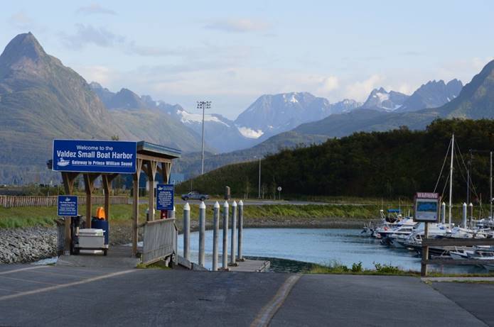
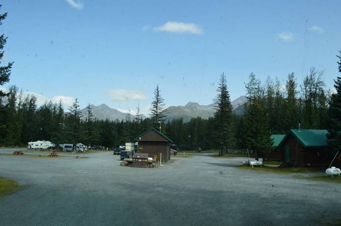
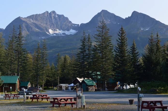
The KOA was a setup for this park.  We’ve moved into town.

The Valdez part of the trip map

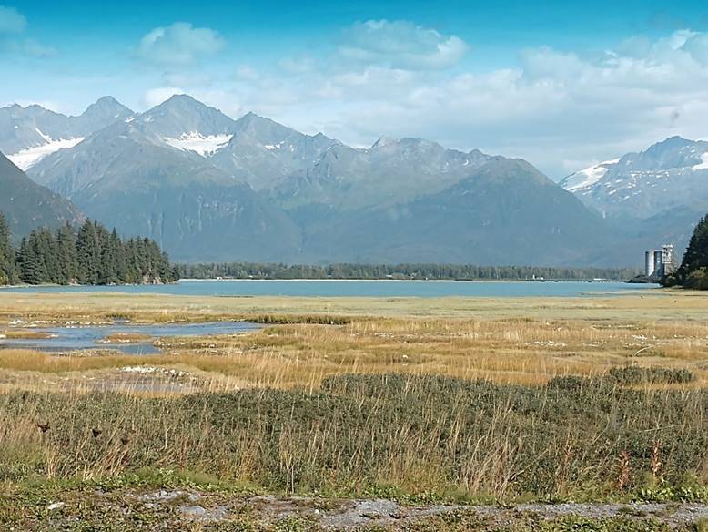
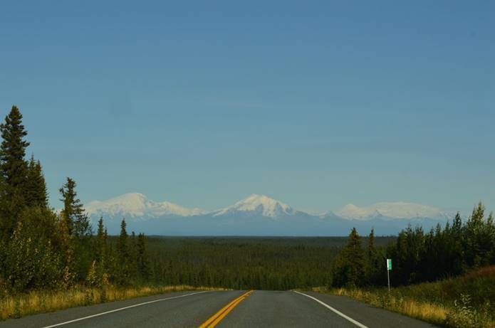
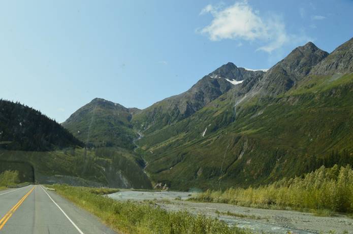
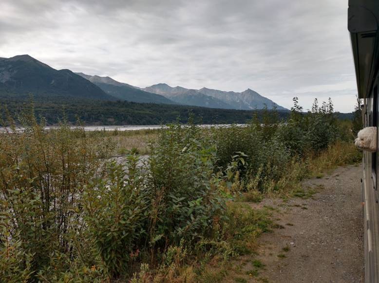
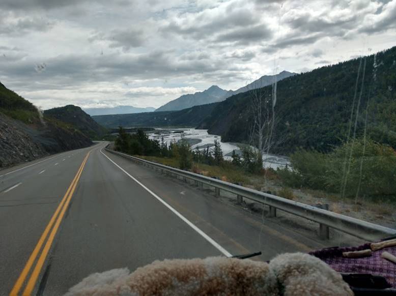
Our windshield view.

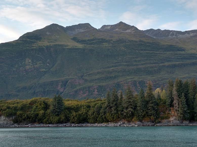
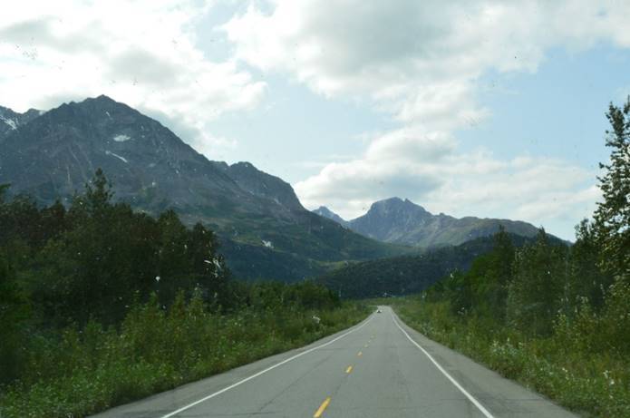
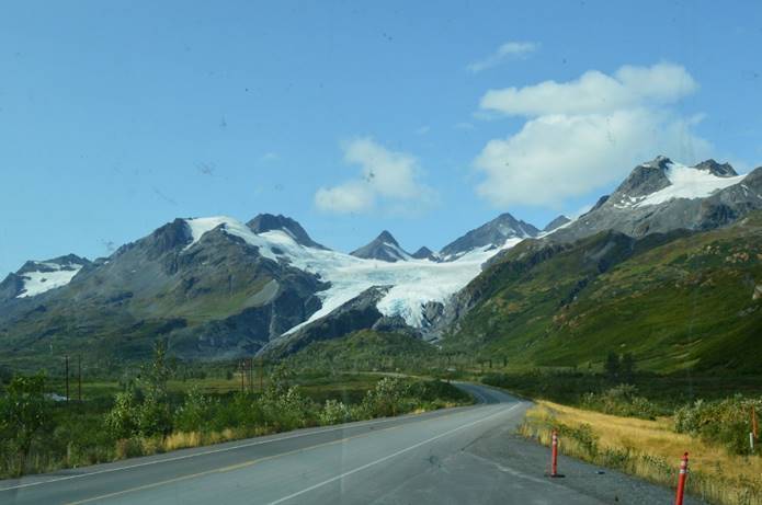
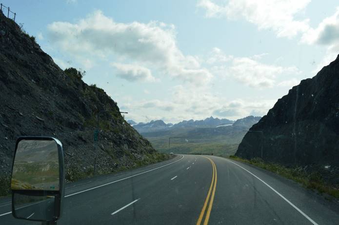
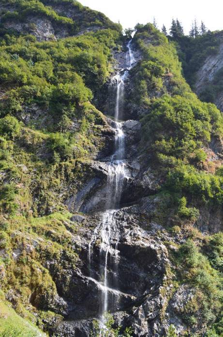
Every other view.

Sunday August, 19,

From the Glenn Highway.

To the Richardson Highway.

We finished the day at the Valdez KOA.

The Middle Part

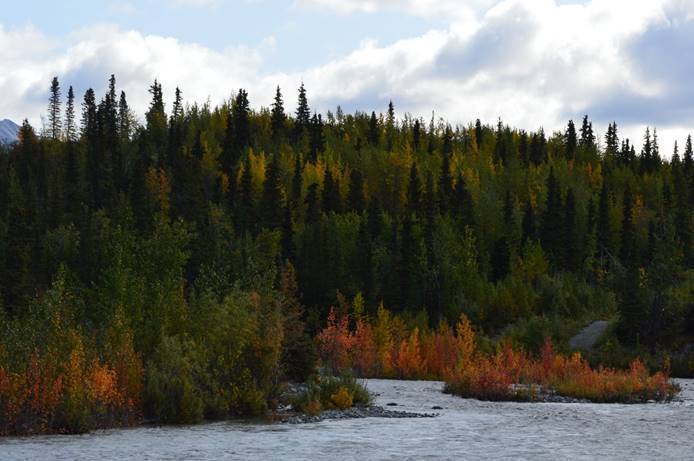
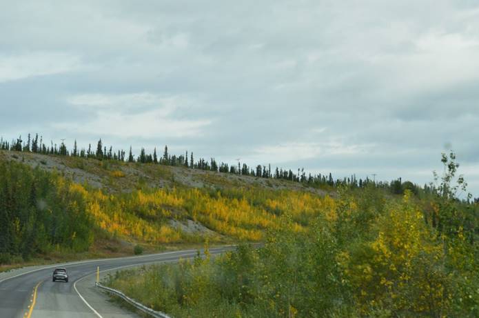
Much cooler weather.  Last night was in the 30s.  There is not a lot of fall color here, but a little.

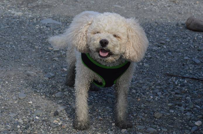
And Henry was a very happy, and tired, glacier dog yesterday.

He stepped in mud up to his armpits before we had him go into a pond to rinse off.  (This is him rinsed off.)  It’s really easy to get him to go into a pond; just show him a stick and throw it into said pond.

Saturday August, 18,

Remember that glacier we passed yesterday?
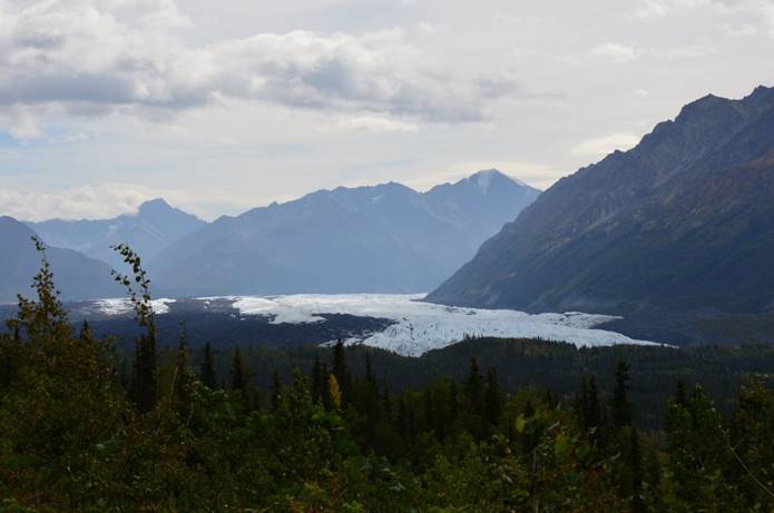
We drove back to it today for an extended visit.

The Glennallen and Matanuska Glacier part of the trip

The Matanuska Glacier; the largest glacier in the United States accessible by car.  Twenty-seven miles long and up to four miles wide.  It advances a foot a day.  I left the map on satellite view to show the giant icefield to the south feeding so many glaciers.

We started from here.
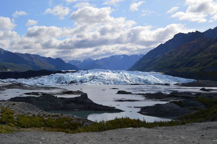
The trail led off to the side, through the glacial moraine.
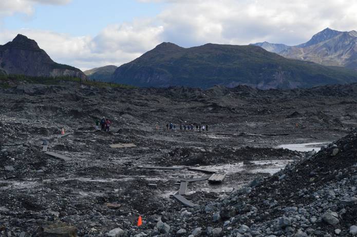
The walking surface looked like sand and gravel, but underneath the surface layer it was all ice.
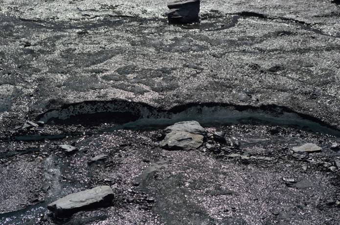
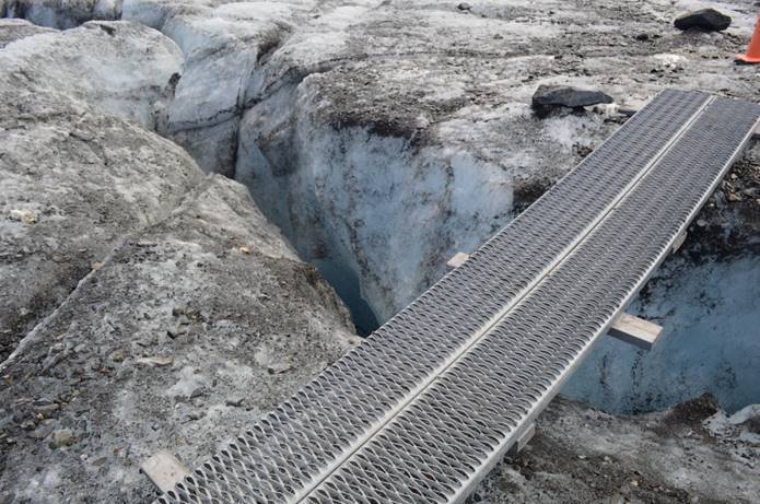
Many spots required makeshift bridges.
We hiked until the sand gravel ice mixture was all ice.
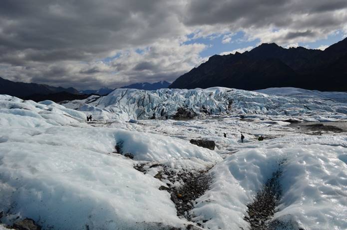
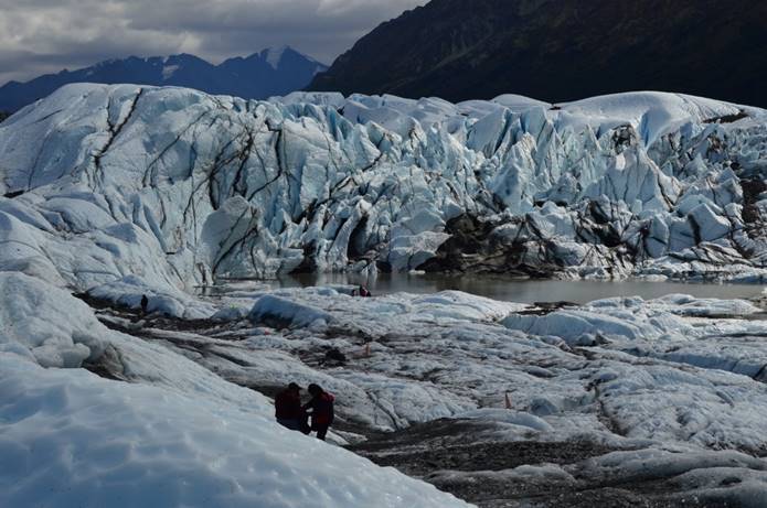
As is the case with glaciers, the weather got noticeably colder as we got right up to it.

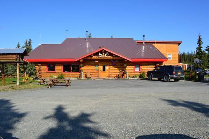
On the way back, we stopped by Lake Louise Lodge.  Not the Lake Louise in Alberta, Canada (Near Banff), but the one in Alaska.
Know what frost heaves look like?  They look a lot like this.
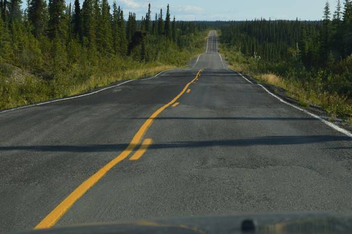
It’s a woo-hoo ride.

And finished the day with more local cuisine.
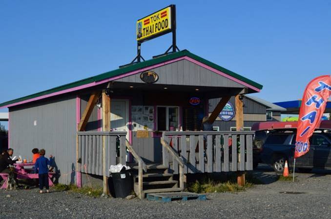
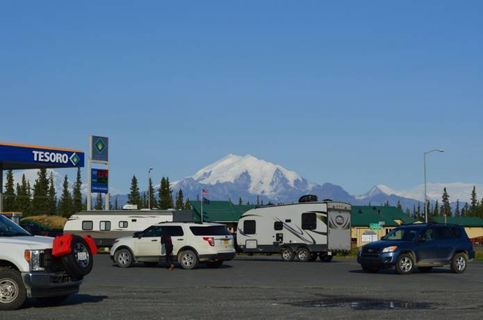
The view from the gas station.
Thursday August, 16,

I added the Chiswell Islands to the map.

Kenai Peninsula

Then we headed off to Anchorage.  Every once in a while, on a trip this long, we have to stop at civilization and get groceries, replacement parts, haircuts, and pizza.  A one-night stay here takes care of that.

Anchorage area

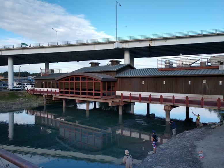
Here’s a thing.

It’s a restaurant called “the Bridge”, and it literally is, a bridge across Ship Creek.

Next stop, parts unknown to us.  Glenallen.

Friday August, 16,

North to the Glenn Highway.  East through Palmer, Chickaloon, Glacier View, Eureka Roadhouse, Nelchina, Mendeltna and Tolsona.  Except for Palmer, they don’t all add up together to more than a city block.  A bumpy bouncy road to get here, but not a long day.  Super scenery while we drove.

Here is our lunch stop.

The road along the Matanuska River.

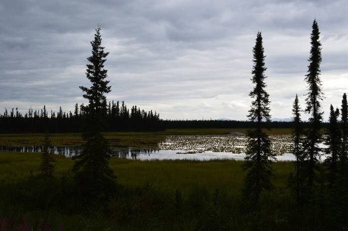
Signs of approaching fall.

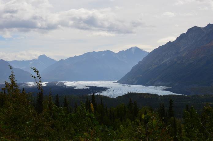
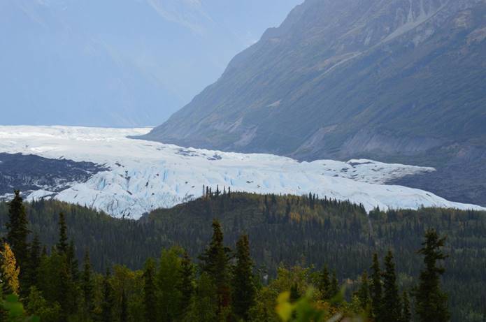
The surprise look down to the glacier below us at the head of the Matanuska River.

The river of ice doing its slow motion creep right in the middle of summer in an otherwise normal flat river valley!

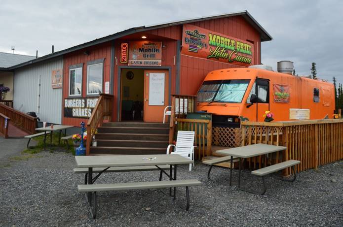
A sampling of the local cuisine in town.

It’s a mobile grill, but it doesn’t look like it ever moves much.  You walk inside the building and Ernesto from Mexico City behind the counter takes your order.  He turns and hands it though an opening to the cook in the RV attached to the wall.  The food comes out a little later and is very good.  A charming experience.

A touch of evening light.